Geoscience Reference
In-Depth Information
To the south, topographic surfaces in the Chalk Downs have been suggested to
represent coastal erosion
peneplains
formed at about 200 m above sea level about 5
million years ago (Late Miocene or Pliocene), but the definition of the surfaces, and
their age, are very speculative.
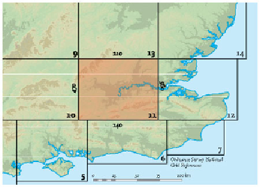
Many of the slopes visible in the slope map (Fig. 189) on the valley floors in this
Landscape are clearly the result of river erosion into Early Tertiary or Chalk bedrock.
In some cases they may be fragments of earlier river floodplains now represented as
terraces. These have been mapped and correlated with the 'staircases' of terraces iden-
tified in the middle and upper Thames (see Fig. 192 and Landscape
B
respectively).
It is relatively easy to distinguish some of the higher floodplains as dating from the
Anglian glacial (about 470,000 years old), and lower ones as post-Anglian, represent-
ing episodes in the Late Pleistocene history, although local correlations are difficult to
confirm in many cases. Despite the difficulties, the way the River Kennet has generally
cut downwards through time and climate cycles is clear.
AREA 11: LONDON
One hundred years ago, more people lived in London (Figs 197 and 198) than in any
other city on Earth. Although London now rates as only fifteenth in a recent survey of
the populations of the world's cities, it is indisputably still one of the greatest in terms
of its historical and economic importance. In fact, a recent report based on the 2001
British census suggests that, in economic and social terms at least, the whole of South-
ern England can be regarded as fringing Greater London!
The proportion of the ground covered by buildings, roads and railways in London is
so great that it often obscures the local landscape (Fig. 199). It is therefore necessary,
in the maps, to take away the layers of man-made 'cover', in order to see the natural
features beneath.