Agriculture Reference
In-Depth Information
hill, a valley and river, and plateau and level areas. Contours can also be
thought of as a graphic tool for designers to manipulate a landscape—
much as one might do working with clay. By shifting and arranging
existing contours, one can achieve a design intent or purpose such as
creating a ball field, earth-formed amphitheater, or bike trail. Just as one
uses lines to outline a tennis court, plaza, or building, lines representing
contours are used to create the three-dimensional or elevation aspect of
outdoor use areas, including paved areas and walls, drainage swales cre-
ated to carry water from one location to another, and berms constructed
to block unsightly views or for the moderation of off-site traffic sound.
B
A
0
10
20
Scale 1”=10'
Figure 7.8-a
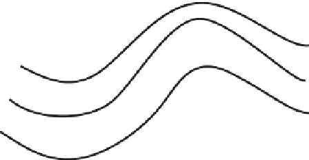
Three, wavy lines: Are they contours or
something else? What additional information is needed for
the same three wavy lines to represent contours?
Figure 7.8-B
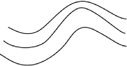
The same three wavy lines but with added
information, making it impossible to mistake the lines for
anything but a set of contour lines
The three lines in Figure 7.8-A are meant to be contour lines, but if
one is not told what they are, they just look like three wavy lines. If one
is to recognize them as contour lines, additional information is required
to make it more obvious what the lines represent. First, each contour
line needs to be labeled with its elevation, as shown in Figure 7.8-B. For
example, the lower line is labeled 101 (101 feet above a known datum),
the middle line is 102, and the top line is 103. Next we need to know the
scale of the drawing. With scale we can then make a variety of calcu-
lations, such as calculating the degree of slope between contour lines
101 and 102, as shown in location “A.” Spot elevation B, located between


