Geoscience Reference
In-Depth Information
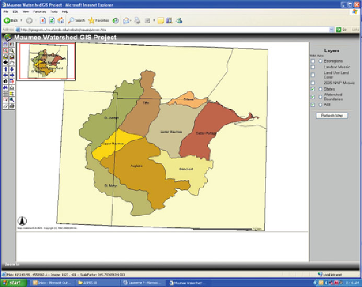
Fig. 8.3 Screenshot of Maumee Watershed layer showing all river basin units
Woodcock et al.
2001
). The point of classification with remote sensing is to categorize
every pixel in the image into themes or classes based on the reference spectral res-
ponse of a band. Normally, multispectral data is applied since categories which can be
separated in a channel are very limited. A commonly used method is the supervised
classification technique which requires a prior knowledge of the study area, and pixels
are classified based on the user-defined reference spectral data set. A maximum
likelihood is used to categorize the pixels into defined classes as it takes into account
a variance and a covariance to the computation and classifies pixels into a class to
which the pixel has the highest probability of belonging (Jensen
2005
).
Many times a good classification of land cover types can result from applying
a single image. However, when land use types such as crop types are classified,
it is useful to use multiple images wherein the dates are different. In the case of crop
identification, the images include pre-growing season and growing season so that
different spectral information can be extracted from the images which discriminate
objects in the study area. For instance, winter wheat may be indistinguishable from
bare soil in late fall when it is just planted and from alfalfa in spring due to a similar
spectral response. However, by using two images, winter wheat can be identified by
having a unique set of responses to bare soil in fall and alfalfa in spring (Lillesand
et al.
2004
). Therefore, it is important to know the study area to take advantage of
the multi-temporal classification.