Geography Reference
In-Depth Information
Click
OK
to add your data into your Postgres database and create any tables and other
objects needed. If you go back to pgAdmin after adding your data and look at the
geometry_columns
table, you'll see that there are now two entries in it.
Once SPIT has finished, you should be able to go back to the main QGIS window and
display a Postgres vector layer. We'll wait to do this for the moment though; next we're going
to load the county boundary polygons using GeoKettle.
Loading Boundary Polygons Using GeoKettle
Sometimes you need a little bit more control over your data loading process. For instance,
you may need to combine two files and make some transformations to your data before
importing it into your database.
When you need to go beyond simple loading using SPIT, you need to use an ETL (Extract,
Transform, and Load) tool such as GeoKettle. As mentioned previously, GeoKettle is a
specialized ETL package that understands geospatial data and all its special metadata.
As with Postgres and QGIS, I'm not going to cover the installation process. It's fairly
straightforward if you download the Java installer version. Since it requires Java to run,
make sure you have an up-to-date Java VM installed on your computer.
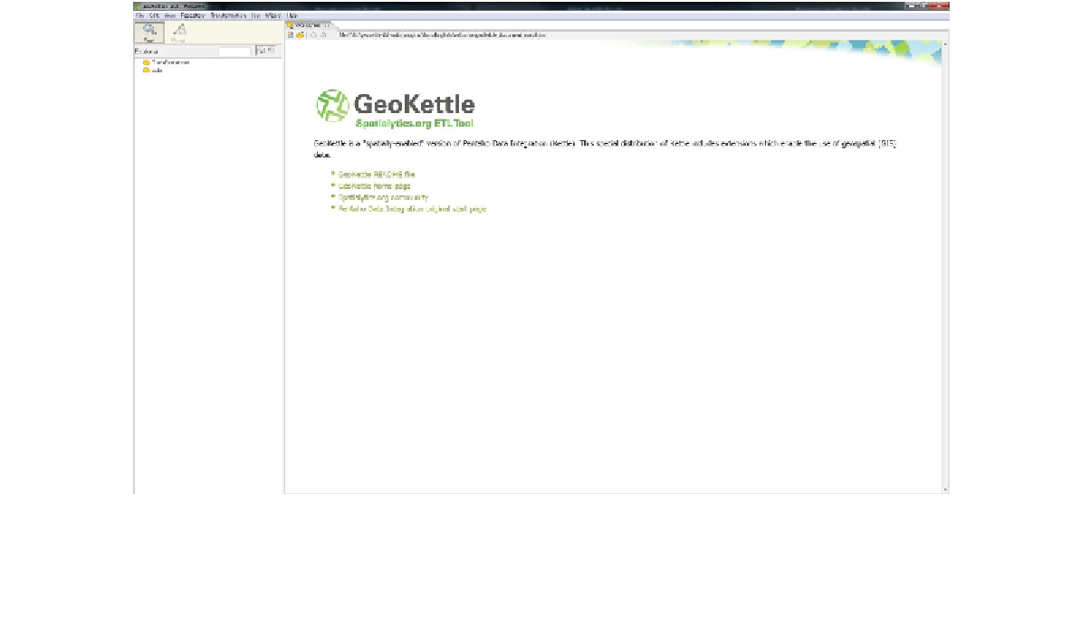
After installing GeoKettle, open the program. You should be presented with something that
looks like the following screenshot:
Figure 24: GeoKettle Home Screen