Geography Reference
In-Depth Information
Also list tables with no geometry
: Selecting this option will make QGIS list tables
with no geographic data in the
Add Layer
dialog.
Use estimated table metadata
: If you have a table that is not registered in the
geometry_columns table, selecting this option will make QGIS guess the data type,
rather than examine the data in the table to determine the geometry type.
Once the fields are completed, click the
Test Connect
button. The test should be
successful.
Click
OK
to save the connection and register it in the
SPIT
tool.
Once you return to the
SPIT
dialog, click
Connect
, and then use the
Add
button to browse
and load the shapefiles for U.K. towns and cities.
You can download sample shapefiles from
bitbucket.org/syncfusion/gis-succinctly
.
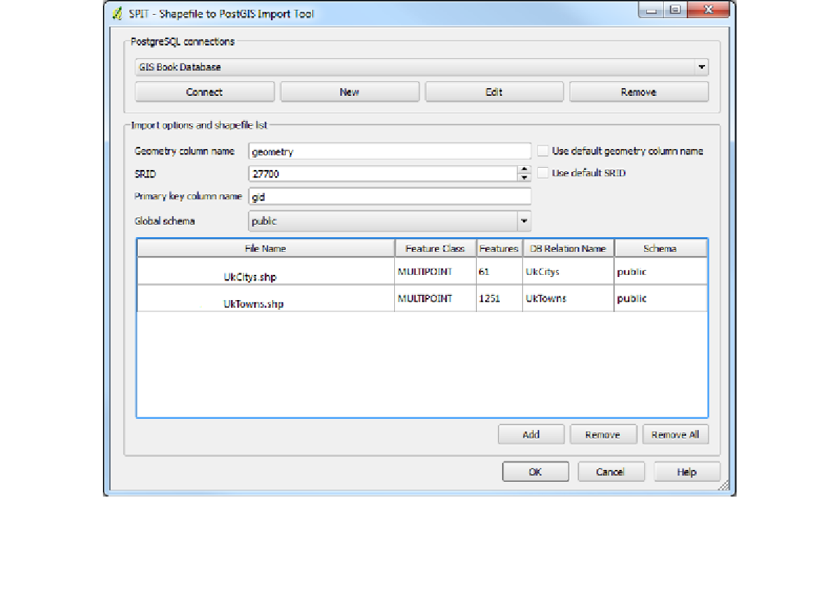
Once you've set the other options such as the
SRID
—all files provided for these demos are
in UK-OSGB36, SRID 27700—and the
Geometry column name
, your
SPIT
dialog should
look similar to the following figure:
Figure 23: Completed SPIT Dialog