Graphics Programs Reference
In-Depth Information
10.
Make sure that Snap is turned off. Then enter the following:
@140<N90DW
↵
@90<S42D30
′
W
↵
@140<S67D30
′
E
↵
@80<N52D49
′
E
↵
@72<N6D9
′
30
″
E
↵
↵
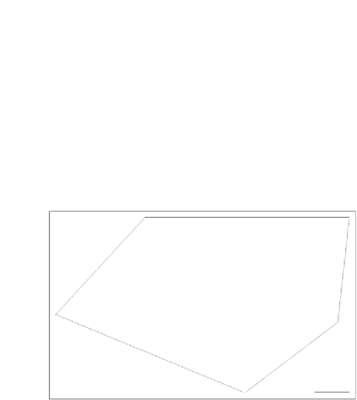
The
LINE
command ends, and all five property lines are drawn (see
Figure 13.5).
FiGuRE 13.5
The property lines on the site drawing
11.
Use the
ZOOM
command to zoom in very tightly on the upper-right
corner of your property line.
Notice how the last property line you drew extends past the start-
ing point (see Figure 13.6). This happens because of the very small
amount of rounding that happens as line segments are drawn with
angles to the nearest second. If you hear a surveyor use the term
balancing
or
closing
a traverse, they are referring to the process of
fixing this small margin of error.
12.
Clean up the intersection using the
FILLET
command with a
0
radius,
and perform a Zoom Extents to bring the entire property back into view.
Search WWH ::

Custom Search