Geology Reference
In-Depth Information
erosion of the canyons and their
tributaries deepens and widens
them.
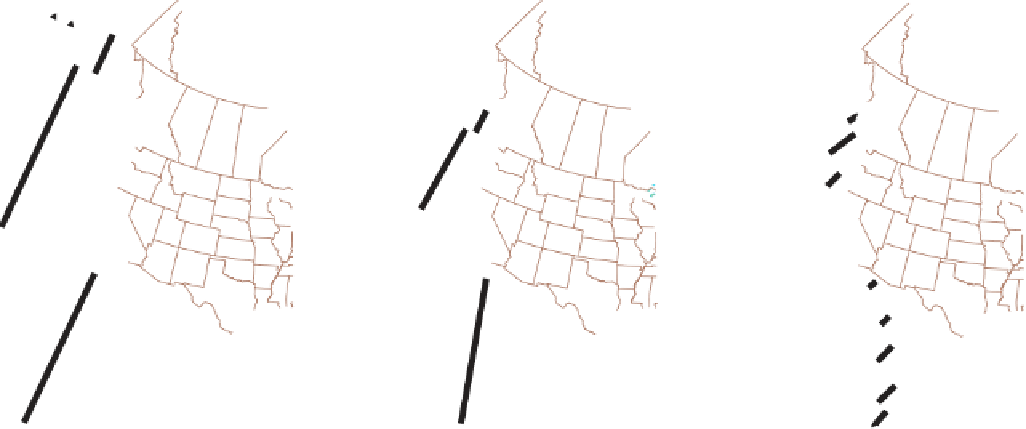
Before the Eocene, the entire
Pacific Coast was a convergent
plate boundary where the
Farallon plate
was consumed at
a subduction zone that stretched
from Mexico to Alaska. Now
there are only two small rem-
nants of the Farallon plate—the
Juan de Fuca and Cocos plates
(
Figure 23.9). Continuing sub-
duction of these small plates
accounts for the present seismic
activity and volcanism in the
Pacific Northwest and Central
America, respectively.
◗
◗
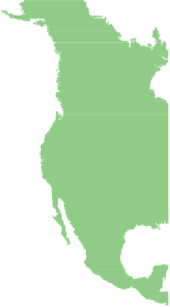
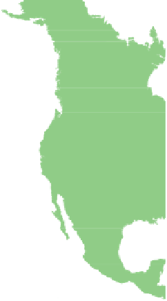
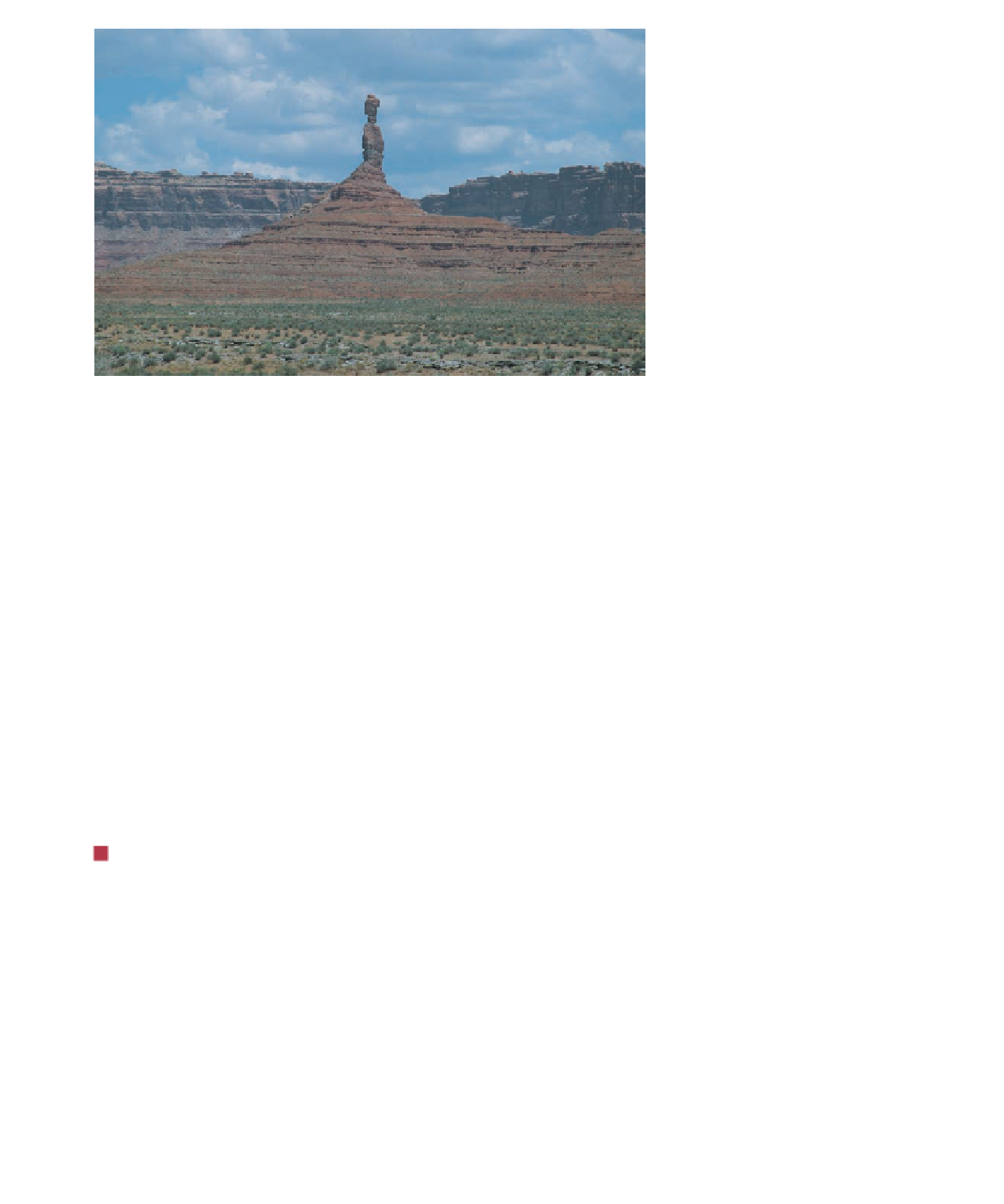
Figure 23.8
The Colorado Plateau Rocks of the Colorado Plateau range from Proterozoic to
Cenozoic. The plateau has been uplifted to its present elevation and deeply eroded. These rocks
are exposed in the Valley of the Gods in Utah.
◗
Figure 23.9
Origin of the San Andreas and Queen Charlotte Faults
40 M.Y.A
20 M.Y.A
0 M.Y.A
Queen
Charlotte
transform
fault
Farallon
plate
remnant
Pacific
plate
Pacific-
Farallon
Ridge
Subduction
zone
Juan de Fuca
plate
Farallon
plate
North
American
plate
North
American
plate
North
American
plate
Incipient
San Andreas
transform
fault
Incipient
San Andreas
transform
fault
Present day
volcanoes
Pacific-
Farallon
Ridge
Farallon
plate
remnant
Gulf of
Mexico
Gulf of
Mexico
Gulf of
Mexico
Cocos
plate
a
Three stages in the westward movement
of North America and its collision with the
Pacifi c-Farallon Ridge. As North America
overrode the ridge, its margin became
bounded by transform faults except in the
Pacifi c Northwest.
b
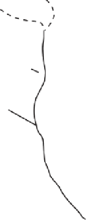
Aerial view of the San Andreas fault today. On land,
we call it a right-lateral strike-slip fault. The creek has
been offset nearly 100 m.


Search WWH ::

Custom Search