Geoscience Reference
In-Depth Information
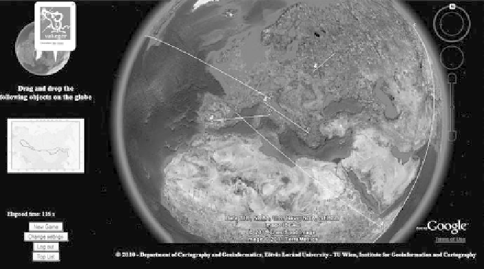
Fig. 4.7 The game starts—
The three-dimensional version of the Blind Mouse
, mute map game
with the Google Earth plug-in with the introduction of new functions of web mapping technology
(
http://vakeger.elte.hu/
)
4.5 Conclusions
Countries with dissimilar past, development and tradition have joined the European
Union and have come closer while regional differences are going to disappear.
Their aim is the approach to uniform compulsory education, teaching competences,
openness and individualization of learning. Unifying systems value international
comparisons. Studying and comparing the everyday practice in these countries can
help with finding better ways to teaching.
The first things that can be easily compared are the models how different levels
of compulsory education follow one another, when they join, when they split. We
can recognize three variations. As far as I see, for students too short first period or
too many changes bring early selection, while a longer first period means “better
foundation”, a solid knowledge.
The more number of lessons guarantee the more experience. But the role and the
teaching time of geography has been reduced both in primary and secondary
education in some of the member states. Nowadays the main aim of teaching is
giving competitive and renewable knowledge. Its sense is put into the curriculum. If
it is controlled, every school has the same possibility. If it is defined by schools,
teachers of different schools offer different knowledge for students. They may
cause principal differences.
Teaching cartography is one little piece of these systems and geography educa-
tion. If Geography, Cartography is integrated, it suits lower levels of education. It
may be not enough at higher level, when detailed knowledge of Geography is
needed with the help of specified teachers. Teaching focuses on skills, preparing
Search WWH ::

Custom Search