Geoscience Reference
In-Depth Information
Table 4.3 Web mapping software, techniques and standards (Plewe
2007
; Haklay et al.
2008
;
Gartner
2009
; Simonn´-Domb´v´ri et. al.
2010
)
Generations of the web mapping
Examples for web technologies
Statistic maps
e.g. Xerox PARC Map Viewer
(1993), National Atlas of Canada (1994), Tiger
Mapping Service (1995), MapQuest (1996)
HTML 1.0 (1993)
Java 1.0, Argus MapGuide, HTML 2.0
(1995)
Intergraph Geomedia Web 1.0 and
Macromedia Flash 1.0 (1996)
Maps with extended interactivity and functionality
e.g. TerraServer USA WMS for satellite and
aerial photos (1998), Tirolatlas (2001)
ESRI ArcIMS 1.0, UMN MapServer 1.0
(1997)
Web Mapping Services
e.g. Google Maps,
housingmaps.com: 1. MashUp and Microsoft
Virtual Earth (2005)
ESRI MapObjects Internet Map Server
(1998)
Flash Player 5 (2000)
SVG 1.0 W3C Recommendation (2001)
Virtual globes
e.g. NASA World Wind (2003),
Google Earth (2005), Wikimapia and ESRI
ArcGIS Explorer (2006), Google MyMaps
and GoogleStreetView (2007)
Google Maps API 1.0 (2005)
Microsoft Silverlight, Apple iPhone
(2007)
Google Earth Browser Plug-In, KML 2.2
W3C Standard (2008)
Mobile web maps
e.g. Wikitude and Google
Navigation (2009)
G1 mobile with GPS and compass (2008)
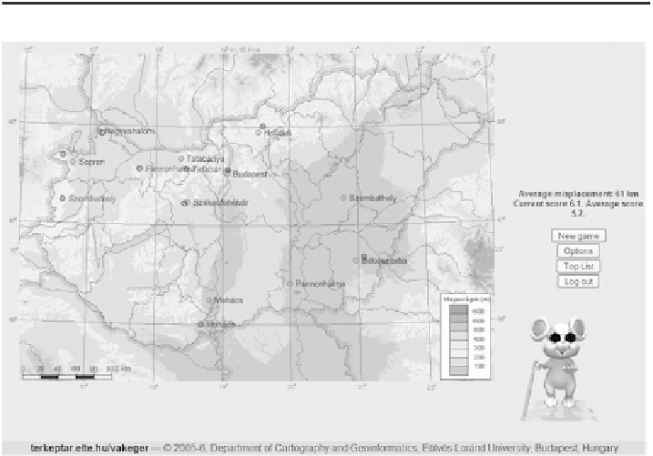
Fig. 4.6 Result evaluation page—
The Blind Mouse
, mute map game for enriching the topographic
knowledge of pupils (
http://vakeger.elte.hu/
)
attractiveness of cartography in different age groups. These can be used universally
but with their help it is playful and stainless to memorize, deepen, test knowledge
(Fig.
4.7
).

Search WWH ::

Custom Search