Geoscience Reference
In-Depth Information
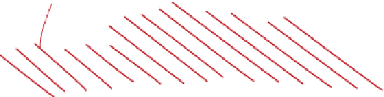
Figure 10.8
An example of a
sketch section, redrawn from a
notebook, based on observations
of cleavage and bedding attitudes
and minor fold structures on a road
traverse in the northwest Himalaya.
Numbers refer to localities. The
kilometre-scale antiformal fold
inferred here is a subordinate
structure on the SW-dipping limb of
a 20-km-scale syncline. (Tom W.
Argles, The Open University, UK.)
10
Sketch sections such as the example in Figure 10.8 are not
intended to be accurate, but to focus attention on structural
problems and try out ideas of the regional geology. They may
even direct mapping, for instance by identifying the best
location(s) to visit in order to test a hypothesis. This may be an
iterative process in areas of poor exposure, and a certain
amount of trial and error may be required to deduce the
thicknesses of lithological units that produce a geologically
reasonable cross-section.
10.5 Mapping techniques
You should always aim to record as much relevant detail as
practical in your notebook to help construction of the fi nal
geological map. Some features (e.g. uniformly dipping strata)
can be adequately recorded with a few measurements. Others,
such as complex brittle fault zones, may require numerous
measurements and observations to constrain their orientation
and kinematics satisfactorily. Mapping may be focused on
different aspects of the geology (e.g. bedrock, superfi cial
deposits, artifi cial deposits, mineral deposits, glacial
geomorphology, soils), which will impose different constraints
on the mapping techniques used. In addition, other constraints
such as time, terrain, vegetation, weather, etc., mean that you
must develop an appropriate mapping strategy for the
conditions. Three common mapping methods are described in
the following sections, although in some areas a combination of
these different techniques may be appropriate.
Whichever mapping technique is employed, it is good practice
to constantly develop hypotheses that predict what you will
fi nd at the next exposure. Then on arrival, the prediction (e.g.
the dip will have changed, it will be the same rock type) is
tested immediately. If correct, the hypothesis is supported; if
wrong, you may need to develop a new hypothesis - for
instance, a fold axis or fault has been crossed between the two
exposures.