Geoscience Reference
In-Depth Information
$UFWLFFLUFOH
D
D
7URSLFRI&DQFHU
D
D
D
(TXDWRU
D
D
7URSLFRI&DSULFRUQ
D
D
D
D
Source: After Walter (1976)
Brazil, parts of southern Chile, higher regions of Central
America, and Florida. The
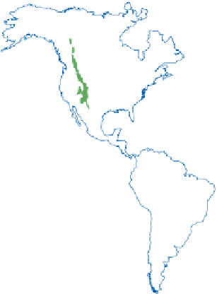
Typical temperate zone
(VI)
has a cold but short winter in continental locations or a
winter almost free of frost with cool summers in oceanic
localities. The
deciduous forests
of the temperate zone (6)
occur in large parts of western and central Europe, eastern
North America and east Asia. In the southern hemisphere
this zone is restricted to a small area of southern Chile.
In the
Arid temperate zone
(VII) large temperature
contrasts occur between summer and winter. Little
precipitation is received. The
steppes
of the temperate
zone (7) and the
deserts and semi-deserts with cold winters
(7a) occur across Eurasia from the Black Sea to the
Himalayas, and in the grassland regions of Canada and
the United States. In the southern hemisphere this zone
occurs in the pampas of Argentina, the semi-desert of
Patagonia and the tussock grassland in the South Island
of New Zealand.
Cool, wet summers and cold winters lasting more than
six months occur in the
Boreal
or
Cold temperate zone
(VIII). The
boreal coniferous
zone (8) occurs across
northern parts of North America and Eurasia, but it is
absent in the southern hemisphere. The
Arctic zone
(IX)
is characterized by low precipitation distributed over the
entire year and by low temperatures. Summers are short
and wet, with twenty-four-hour days, while winters are
very long and cold, with twenty-four-hour nights. The
tundra
zone (9) encircles the north pole in the Arctic, and
similar vegetation is found in the southern hemisphere on
the southernmost tip of South America and on many
small islands in the southern ocean. Walter's classification
of climates and vegetation is a zonal one. Variations will
occur within zones caused by factors such as proximity to
oceans, the influence of trade winds and monsoons, and
the presence of major mountain ranges, as well as local
micro-environmental differences caused by topography
and soil types. Further details on vegetation in different
environments are given in the environment chapters.
Other biogeographers have proposed different schemes
of vegetation classification. The English botanist
Holdridge (1947) published a subdivision of Earth based
on mean annual temperature, mean annual precipitation
and mean annual potential evapotranspiration (
Figure
popular for use by climate modellers interested in the
changes in vegetation likely to result from future climate
change. Adaptations have been produced for individual
continents, and the Holdridge diagram for Europe
represents different conditions of water availability
controlled by rates of evaporation and precipitation,
giving ten types of potential natural vegetation within the
five climate zones of Europe (
Figure 20.6
).