Geoscience Reference
In-Depth Information
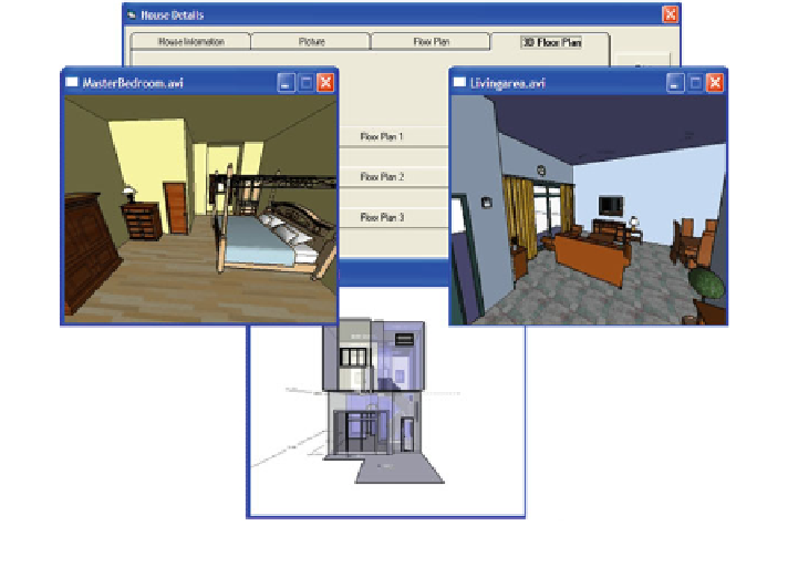
Fig. 3
3D function of the pilot system (Salleh et al.
2008
)
3.1 Improvising Geo-Processing and Geometric
Network Functions
The Geo-processing service engine is built on the ArcGIS Server and Adobe Flex
viewer for its user interface. To ensure the success of this function, the following
data are essential:
1. Street network (topologically correct), stored in Geometric Network—Polyline
2. Points of Interest data—Point
3. Property data—Polygon.
The new process requires three inputs from users relating to the type of
property, the range of price and also the distance to Points of Interest (POI). The
POI will represent the preferences of nearest facilities to the respective property
such as school, mosque, bank, clinic or departmental store. In response to this
function, topological correction and generation of geometric network data for the
system function is crucial, and of essence to the success of this function. The Geo-
processing Service comprises the following activities:
1. User selects a POI
2. Create a Buffer layer of the POI based on the user specified Distance
3. Intersect buffer layer with the property polygon layer