Geoscience Reference
In-Depth Information
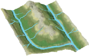
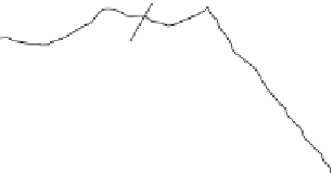
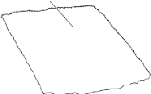
Trunk stream
Tributary
Trunk stream
Tributary
(a) Dendritic
(b) Rectangular
Lakes and swamps
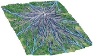
Central summit
Ridge
(d) Radial
(e) Deranged
(c) Trellis
Figure 16.7 Drainage patterns.
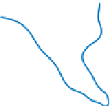
Stream networks are configured in five primary drainage patterns: (a) dendritic,
(b) rectangular, (c) trellis, (d) radial, and (e) deranged.
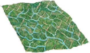
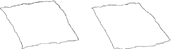
Figure 16.8 shows an example of differences in drainage
density. This diagram shows two watersheds (A and B) of the
same size that clearly contain a variable number of streams.
Which area, basin A or B, has the higher drainage density? The
answer is basin B. Why might such a difference occur? One
reason might be that basin B occurs in a more humid climate,
so more streams exist in the area to handle the extra runoff of
this region. A second possibility is that basin A occurs on a
landscape lying over porous sands that allow water to seep rap-
idly into the ground, whereas watershed B occurs in a region of
relatively impermeable clay that causes water to flow overland.
The measurement of drainage density provides a hydrologist
or geomorphologist with a useful numerical measure of runoff
potential and how much streams have shaped the landscape.
A third way to characterize a drainage network is
through the process of
stream ordering
. Streams within
Divide
Divide
Tributaries
Tributaries
Trunk
stream
Trunk
stream
Figure 16.8 Drainage density differences.
Basin A has a lower drainage density than
basin B. This may result from differences
in climate or type of underlying rock or
Basin A,
Basin B,