Geoscience Reference
In-Depth Information
Columbia
Assiniboine-Red
St. Lawrence
Great
Lakes
Missouri
Upper
Misssissippi
Great
Basin
North
Atlantic
Ohio
California
Arkansas-White-Red
Rio
Grande
Upper
Colorado
Texas-
Gulf
Lower
Colorado
South
Atlantic
Gulf
Lower
Mississippi
Figure 16.6 Major U.S. watersheds.
Several large drainage basins occur in the United States. Each of
these basins contains an array of nested drainage basins like those shown in Figure 16.4. Note the direction
of flow for each trunk stream. The Mississippi River watershed is the largest drainage basin in the country
and is outlined in bold.
Gulf of Mexico from streams that deliver runoff into the Pacific
Ocean, such as the Colorado and Columbia rivers. The eastern
divide of the Mississippi basin is the Appalachian Mountains,
which is also a continental divide because it separates Atlan-
tic-flowing drainages such as the Delaware and Hudson basins
from the Gulf-flowing waters of the continental interior.
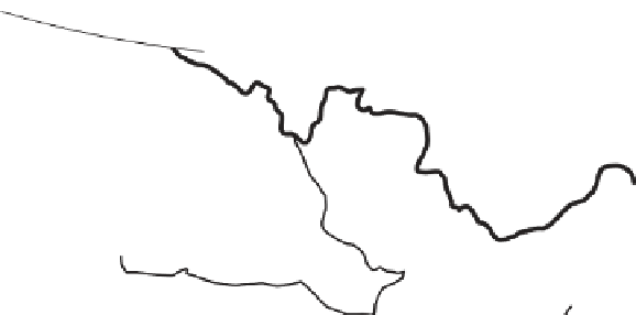
3.
Trellis
—A trellis drainage pattern (Figure 16.7c) is a
system of streams that develops in areas such as the Ridge
and Valley province in the Appalachian Mountains where
rocks are folded. In this area, major streams tend to flow
parallel to one another in adjacent valleys within the
folded mountain belts. Minor tributaries flow into larger
streams at right angles.
4.
Radial
—In a radial drainage pattern (Figure 16.7d),
streams radiate outward from a central point, forming a
spoke-like pattern of rivers. This kind of pattern tends to
evolve where streams flow away from rounded upland
areas such as a volcano.
5.
Deranged
—A distinctively chaotic drainage pattern
(Figure 16.7e), characterized by irregular direction of
stream flow, few tributaries, swamps, and many lakes, that
develops in recently glaciated terrain.
Drainage Patterns, Density,
and Stream Ordering
In the context of individual drainage basins, it is often useful to
characterize the spatial configuration of the stream network. Such
an assessment sheds light on the evolution of the basin or the na-
ture of the rocks and sediments that lie within it. One method is
to look at the drainage pattern, which is the way that the various
streams within a drainage basin are spatially organized. The five
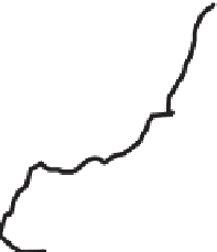
primary drainage patterns are shown in Figure 16.7.
Another way to characterize a drainage basin is by calcu-
lating the drainage density of a watershed.
Drainage density
refers to the relative density of natural drainage channels in a
given area. This value is calculated by dividing the total length
of all streams in the basin by the area of the basin:
1.
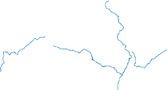
Dendritic
—A branching, tree-like drainage pattern
evolves in areas of uniform rock resistance and structure,
with little distortion by folding or faulting. Notice in
Figure 16.7a that the streams develop a random branching
network similar to a tree.
Drainage density
â
Total length of all streams
Area of drainage basin
2.
Rectangular
—A rectangular drainage pattern occurs
when joints and faults steer streams at right angles to one
another. This pattern occurs because water flows preferen-
tially to these zones of weakened bedrock where the water
more freely erodes. Notice in Figure 16.7b the angular