Geoscience Reference
In-Depth Information
Fig. 1.
SAR imagery data for the Bering Sea region taken on December 14, 2001.
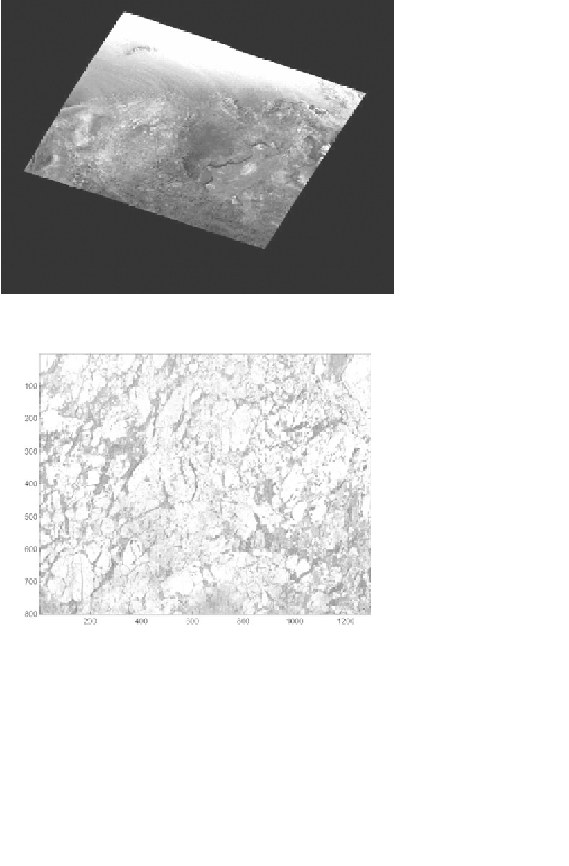
Fig. 2.
SAR data for the cut-out area taken on December 11, 2001.
The initial classification is then supplemented using statistical attributes
and heuristic geophysical knowledge organized in expert systems. In Figs. 4
and 5, we show the two-class segmentation results using the DLT method.
Statistical method, based on the maximum correlation of nearby pixels