Geoscience Reference
In-Depth Information
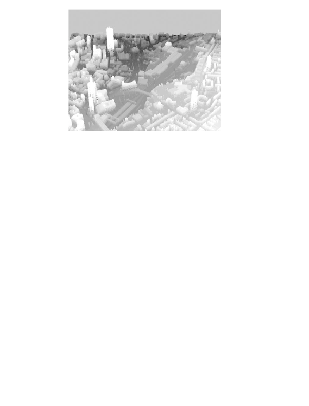
Figure 19.8
LiDAR image of Leicester city centre derived from fi rst return height data.
Individual tall buildings, housing areas, a train line and lamp posts are clearly visible.
The brightest colours represent the tallest height. LiDAR Data Copyright Environment
Agency Geomatics.
detected heat emissions from the MODIS instrument on the Terra satellite for the
same month (black dots). In the region 48º-52ºN
110º-120ºE an anomalously
high-atmospheric CO
2
concentration was observed, which is located just south of
a region of major catastrophic forest fi re outbreaks that occurred in Siberia in May
2003 (indicated by the black dots). While the causality of the two observations has
not yet been proven, the example illustrates the potential for joint exploitation of
terrestrial and atmospheric satellite observations.
|
Urban mapping
In addition to these natural resource monitoring and management applications,
remote sensing in general and imaging LiDAR in particular has a range of applica-
tions in human geography and the social sciences. From the detailed high-resolution
LiDAR height maps, three-dimensional urban models can be generated (Batty and
Hudson-Smith, 2005). These models provide an increasing level of detail, and when
combined with optical photographs of building textures can be used to create virtual
cities. This technology has applications in urban planning, the games industry,
architecture and visual building impact assessment through line-of-sight simula-
tions, as well as building material and surface structure assessment. Figure 19.8
shows an airborne LiDAR image of the recorded fi rst return heights of Leicester
city centre.
Concluding Remarks
The selected applications of remote sensing described above can serve to illustrate
the broad range of Earth-System Science that has only become possible over the last