Geoscience Reference
In-Depth Information
Subsoil Groups
Catchment Area
Erosion
Erosion-Shallow
Root Region
17
1
Shallow Root
Region
Shallow Root
Region-Erosion
20
14
9
16
5
Shallow Root
Region-Wetness
10
15
18
Wetness
8
4
13
Wetness-Shallow
Root Region
7
12
22
11
3
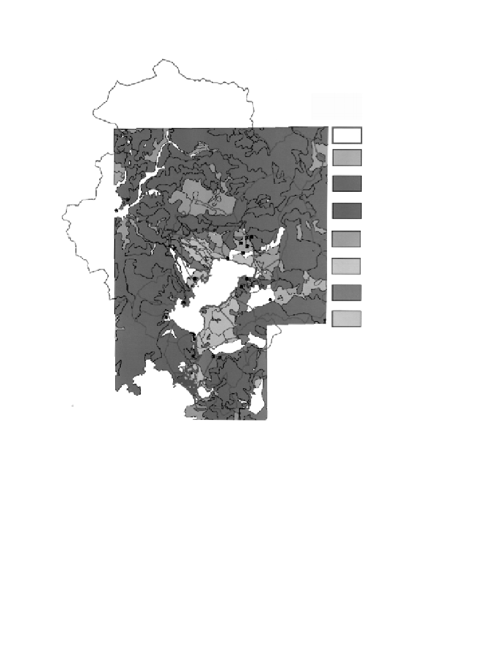
FIGURE 9.5.4B
Subsoil groups of the watershed.
• Typical Mediterranean scrub vegetation
•
Forests
The majority of wetlands are covered with rushes and reeds, whereas the hills
are forest zones.
Liquidamber orientalis
forests, peculiar to southwest Anatolia and
Rhodes Island, lie northwest of Koycegiz Lake.
Almost all the plain or close to plain land is devoted to agriculture. The main
agricultural crops are citrus fruits, cotton, sesame, corn, and wheat. In higher regions
olive groves enrich the vegetation cover. Detailed information on the vegetation
cover obtained from the NIC of the TRGDRA and the reliability of most of the
land-use information gained from different sources were verified via field observa-
tions and surveys. The region is predominantly undeveloped native landscape or
agricultural land.
Figure 9.5.4D
shows the vegetative cover of the area.


Search WWH ::

Custom Search