Geoscience Reference
In-Depth Information
the magnitude of an earthquake on this scale does not
depend upon seismographs, but instead upon actual
field reports and pictures of damage to cultural
features, mainly buildings. The scale has some quanti-
tative basis in that the categories on the scale increase
with increasing acceleration of the shock wave through
the crust. When the maximum acceleration exceeds
9.8ms
-2
, which is the acceleration due to gravity, the
shock wave of the earthquake hits the Earth's surface so
hard that objects are tossed up into the air and trees
can be physically hammered from the ground. These
accelerations can be used to construct maps of
seismic
risks
, which will be described in more detail in the
following chapter.
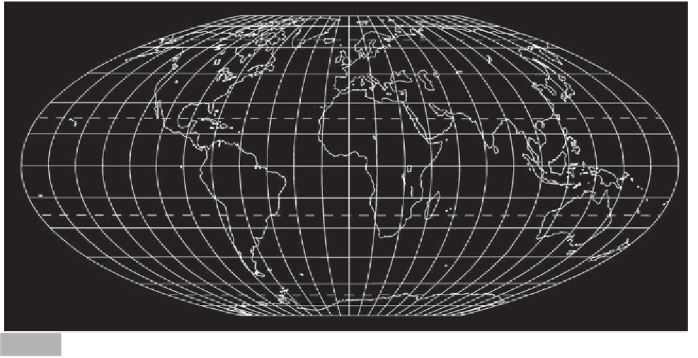
plate boundaries are either
subduction zones
, where
two sections of the Earth's crust are colliding with one
plate being consumed or subducting beneath the other;
or mountain-building zones, where two or more plates
are colliding with one overriding the other. The ocean
trenches
and the Pacific
island arcs
occur above sub-
duction zones, while the Himalayas and European Alps
occur within mountain-building zones (see Figure 9.2
for the location of all major placenames mentioned in
this chapter). Although both these regions give rise to
earthquakes, subduction zones are far more important
in accounting for the majority of earthquakes and
almost all explosive volcanism. While volcanoes at these
locations produce only 10-13 per cent of the
magma
reaching the Earth's surface, they are responsible for
84 per cent of known eruptions and 88 per cent
of eruptions with fatalities. Most of these eruptions
occur around the Pacific Ocean, along what is termed
the Pacific 'ring of fire'. Plate boundaries through
Indonesia, Italy, and New Zealand have the longest
record of activity. Between 1600 and 1982, 67 per cent
of all known deaths resulting from volcanoes occurred
in Indonesia, on the convergent boundary of the
Indo-Australian and Eurasian Plates. Mantle hot spots
are the next most important region of volcanic activity.
The most notable hot spot includes the Hawaiian
Islands, which lie in the middle of the Pacific Plate.
Most divergent plate margin volcanoes occur along
mid-ocean ridges where the crust is separating. The
latter is the cause of volcanism in Iceland. Volcanoes on
DISTRIBUTION OF
EARTHQUAKES AND
VOLCANOES
(Hodgson, 1964; Doyle et al., 1968; Bolt et al., 1975;
Blong, 1984)
Figure 9.1 shows the global distribution of areas of most
frequent earthquake activity together with historically
active volcanoes on land. Superimposed on this map are
the locations of active plate boundaries. The most
striking feature is the correspondence between the
occurrence of these two hazards and the boundaries of
crustal plates. Active volcanoes occur in three locations:
near convergent plate margins, at divergent plate
margins and over
mantle
hot spots. Briefly, convergent
Mt Hekla
Iceland
Alaska
Aleutian Islands
Finland
Timiskaming
European Alps
Yellowstone
Salt Lake City
Denver
San Francisco
Los Angeles
Mt St Helens
Tangshan
France
Shensi
New England
Tokyo
Kobe
Haicheng
Mt Pinatubo
Istanbul
Izmit
Himalayas
New Madrid
Lisbon
Mt Fuji
Vesuvius
Gujarat
Charleston
Landers
Canary
Islands
Mt Etna
Italy
Hoover Dam
Kilauea
La Soufrière
Deccan
Plateau
Koyna
Mt Pelée
El Chichon
Santa Maria
Cosequina
Nevado del Ruiz
Soufrière
Krakatau
Galunggung
Mt Agung
Tambora
Kariba
Tennant Cr.
Yasur
Newcastle
Chile
Meckering
New Zealand
Location map.
Fig. 9.2