Graphics Programs Reference
In-Depth Information
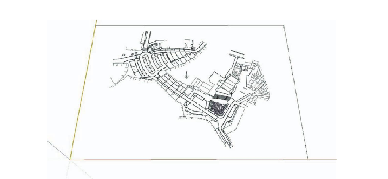
FiG 4.2
Imported project template.
Stage 3: Modeling the Project
Objectives
: Modeling the entire square and organizing the elements of
the model
Data
: Paper plan of the project with levels; color swatch chart for the
materials; supplementary components for the project entourage such as
vegetation, street furniture and lighting, vehicles, and pedestrians
Tools
: SketchUp, plug-ins, Google 3G Warehouse online component library
To model the whole of the projected terrain, the square was divided into
logical subgroups such as roadways, sidewalks, and esplanades, which were
further subdivided according to different material types or sudden changes in
level (curbs, terraces, etc.).
Sidewalk curbs and any other structures were modeled and combined with
the previously created surface to obtain the final terrain model.
Stage 3.1: Surface Modeling
The surfaces were modeled one-by-one in the following stages:
1.
Contour elevations
2.
Surface modeling
3.
Any necessary retouching followed by application of materials
In order to set up the contour elevations of the surface, I used Chris
Fullmer's Three Line Tools plug-in. By clicking on the Vertical Lines by
Search WWH ::

Custom Search