Global Positioning System Reference
In-Depth Information
Longitude (
°
E)
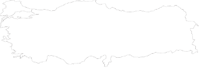
Fig. 1. Topographic map of Turkey and validation benchmarks (units metre) (using
GTOPO30 data (USGS, 1997))
42
40
38
36
28
30
32
34
36
38
40
42
44
Longitude (°E)
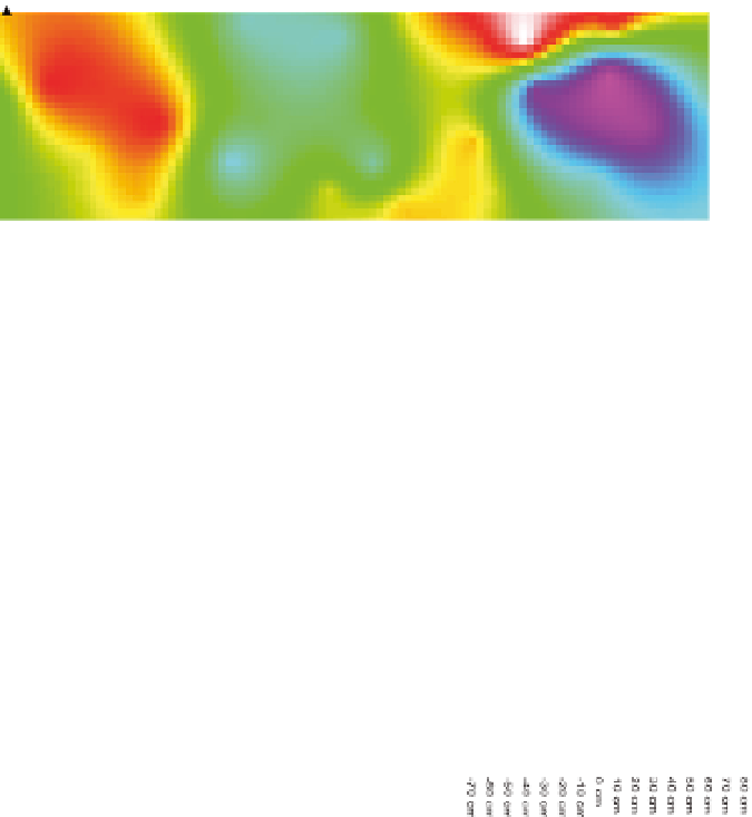
Fig. 2. Geoid height differences between EIGEN-6C model and GNSS/levelling observations
Longitude (
°
E)
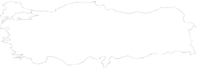
Fig. 3. Geoid height differences between EIGEN-6S model and GNSS/levelling observations


Search WWH ::

Custom Search