Geography Reference
In-Depth Information
Successful methodologies to compare and georeference ancient maps are being currently
applied [8, 9], and provide interesting conclusions about their accuracy. Other projects aim
to reconstruct the history of the territories through ancient cartography, aerial photographs
and field works [10, 11]. Their targets can be easily reached with the capabilities of free open
source tools as NorthGate's Kml Builder.
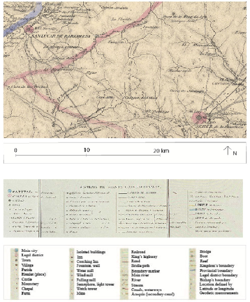
Figure 4.
Francisco Coello 1868:
Map of the Province of Cadiz
, showing the
Via Augusta
between Jerez de
la Frontera and Sanlúcar de Barrameda, lettered as “Vestigios de la Vía Romana “ (remains of the
Roman road) (Task Group's Partner:
Cultural Heritage and sustainable architecture
Research Team
,
University of Alcalá, Spain).