Geology Reference
In-Depth Information
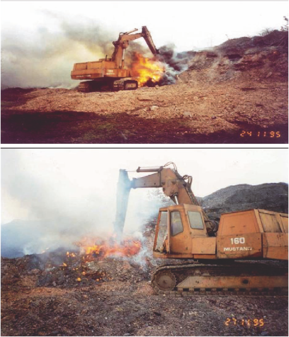
A
B
Figure 5.1.11. (A & B) Earthmoving equipment travelling over a hotspot, at a colliery-waste site, England. Photo
by International Mining Consultants 1995.
imaging method successfully identified areas where heating occurred by locating areas where there was an increase
in electrical resistivity of the ground that results from it drying out.
An electromagnetic mapping survey was carried out on two scales to investigate whether or not the variations in
resistivity seen on the imaging sections could also be detected on the spatial data that the electromagnetic method
produced. This method estimated the conductivity (the inverse of resistivity) of the ground by measuring the
strength of eddy currents induced there by the instrument (Figure 5.1.15).