Graphics Programs Reference
In-Depth Information
the location of a manhole by saying that it is a certain distance along the length
of the road (station) and a certain distance to the left or right of it (offset).
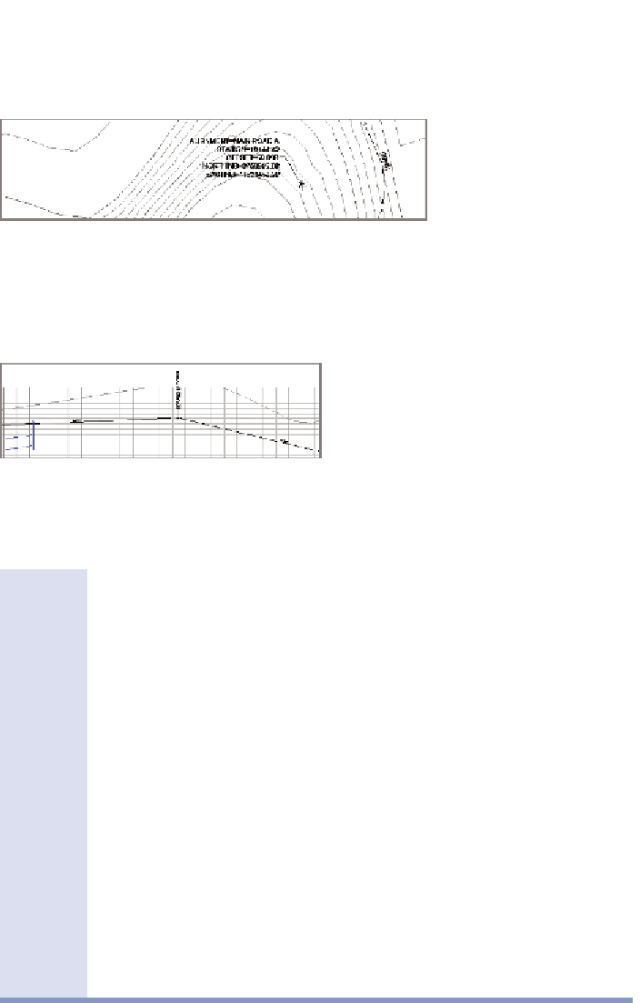
Profile Grade Break label
This type of label is used to show the location and
elevation of a slope change along a profile. For example, if the profile slopes upward
and then changes to a downward direction, the highest point where the change
occurs is considered a grade break and is a common location to place a label.
Station and offset
Long linear designs such as roads and pipelines often use station and offset
notation to express locations. Stations themselves are usually expressed in a
special notation that has a plus sign in it.
For example, if you're working in imperial units, a station of 2+00 refers to a
location that is 200 feet “down the road” (assuming the road begins at station
0+00). To get to station 2+00, offset 12', you would travel down the road exactly
200 feet, turn right exactly 90 degrees, and travel exactly 12 feet.
If you're working in metric units, a common format is to use three digits after
the plus sign. In this case, a station of 0+200 refers to a location 200 meters down
the road. To get to station 0+200, offset 4m, you would travel 200 meters
down the road, turn right exactly 90 degrees, and travel exactly 4 meters.