Geography Reference
In-Depth Information
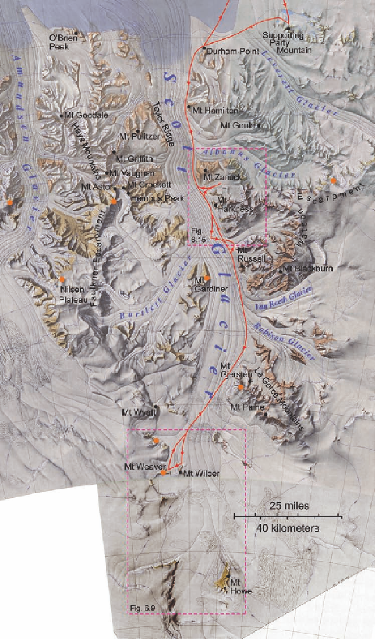
Figure 6.2. Shaded-relief
map showing the route
taken by Blackburn's party
to the head of Scott Glacier
and back. Orange dots
mark the survey stations of
the Topo East party during
Operation Deep Freeze 63.