Geography Reference
In-Depth Information
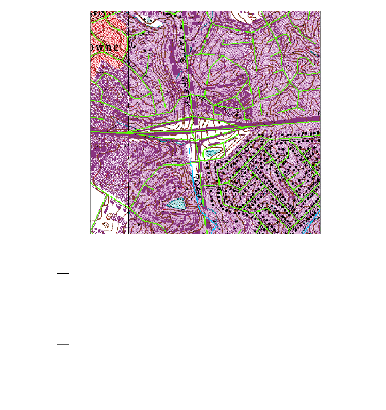
FIGURE 2-29
32.
Open the attribute table of Roads and expand it horizontally. Notice that, at the bottom of the
window, where the number of records is shown, the 2000 has an asterisk (*) in front of it. This
means that there are more than 2000 records and ArcMap doesn't want to load all of them
unless asked. To force ArcMap to display all of the records, look the bottom of the table window
and find the buttons for moving around among the records of the table. Check out the ToolTips.
You will see a text box in the middle of the buttons. Click the rightmost button (ToolTip: “Move
to end of table.”) It will take you to the last record of the file. How many records are there in the
feature class? ____________________.
33.
Sort the table into ascending order by feature name (FENAME). Scroll to the top of the table, then
down a bit so as to get past all the road segments that have a blank FENAME. You will notice that
many road names are repeated. That's because each road segment, between intersections, has its
own record. Since TIGER/Line files exist for every bit of real estate in the United States, you can
see that the whole thing is a monster-sized database. It has been available in shapefile format, in
fairly reasonable file sizes relating to specific geographic areas, using File Transfer Protocol (FTP):


Search WWH ::

Custom Search