Information Technology Reference
In-Depth Information
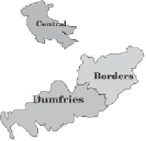
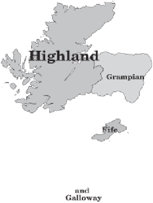
Counties and Scottish Regions
Annotated base map, shaded by
the 1981 unemployment rate.
5%
10%
15%
20%
25%
30%
35%
40%
45%
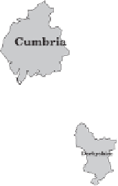
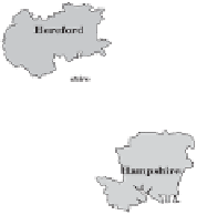
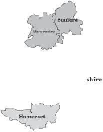
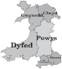
Figure 2.4 Continuously shaded map for these 64 areas drawn from 1981 census
figures and projected on an equal land area map with annotation applied auto-
matically. Counties are often used for mapping statistics. Councils often used to
be elected to administer government in these areas, from county towns. The major
metropolitan areas no longer exist as administrative units.


Search WWH ::

Custom Search