Information Technology Reference
In-Depth Information
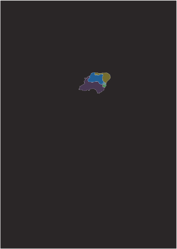
Postcode Districts
Coloured at random.
Figure 2.14 These 2649 postal district areas are drawn on an equal land area
map. The first half of the full postcode gives the geographical resolution shown
here. These areas are particularly useful in market research. They allow an
intermediate level of geography, between wards and the previous higher amal-
gamations. The colouring is random to show what random is like.


Search WWH ::

Custom Search