Information Technology Reference
In-Depth Information
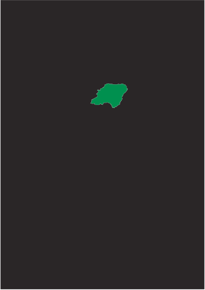
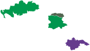
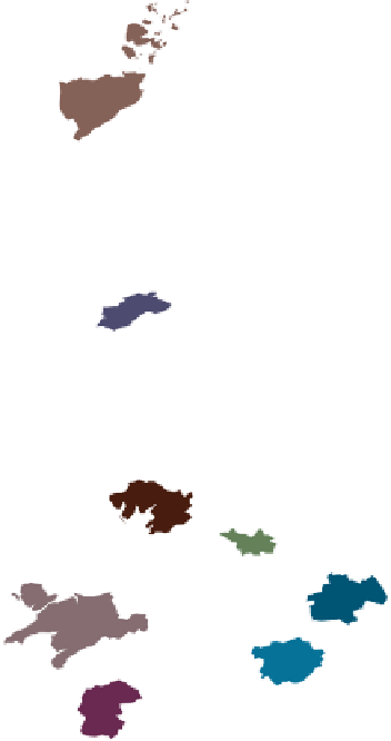
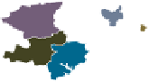
Postcode Areas
Coloured at random.
Figure 2.13 These 121 areas are based around postal towns and are identified
by the first two letters of their postcode. They are coloured at random here to show
what such random distributions look like. However, can you see any patterns? On
the computer screen the map appears like a stained glass window, which shows
how the printing process can change a picture.


Search WWH ::

Custom Search