Geography Reference
In-Depth Information
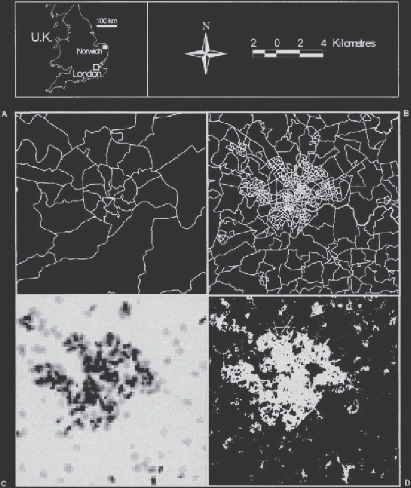
Figure 44.5
Different data models of Norwich, UK: (A) postcode sector geography; (B) a choropleth census map; (C) a
population surface map; and (D) a Landsat image.