Geology Reference
In-Depth Information
between two moving plates. Around each volcanic
center pillow lavas and breccias built low islands where
the vents continued to eject lava and ash. Riding atop
the moving Kula and Juan de Fuca plates, the island
volcanic chain collided with and was swept up by the
oncoming westbound North American plate.
As the island chain began to subside and a
proto-Cascade volcanic arc was established east of the
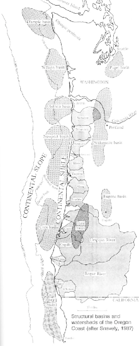
block, sediments poured into the newly created forearc
basin. A thick sequence of Eocene through Miocene
marine clastics accumulated in the subsiding basin atop
the platform of older basalts. Eocene sediments in the
basin are derived from several sources. Initially the
Klamath Mountains contributed detritus to the newly
formed basin, but as watersheds extended further east
the primary source of sediments was the Idaho batho-
lith. Finally, volumes of pyroclastics and ash from the
newly formed ancestral Cascade volcanoes covered
earlier sands, silts, and muds in the adjoining basin.
Oligocene seas extended over the northern
Coast Range block, but with uplift of the range during
the Miocene the ocean retreated to the west. As the
western edge of the North American plate was wrin-
kled by pressure from the subducting Juan de Fuca
slab, lava flows from fissures in eastern Oregon reached
the coast where they invaded layers of the softer
sediments. Once the shoreline had withdrawn to the
western edge of the coastal block, the older Cenozoic
formations were shaped by erosion, and river valleys
assumed their present positions. The rivers cut through
many of the later formations laying bare the resistant
Oligocene sills and dikes making up nearly all the
prominent peaks of the central range.
Continued uplift and tilting of the coastal
mountains combined with Pleistocene sea level changes
created raised terraces in the vicinity of Cape Blanco
and Cape Arago. Because rates of uplift vary along the
coast, different sections of a terrace may have eleva-
tions that vary by hundreds of feet. Deeply eroded, one
million year old terraces are inland at the highest
levels, while the younger surfaces are near the coast at
lower elevations.
Pleistocene landslide lakes of the inland
mountains and freshwater dunal lakes along the coast
are among the more ephemeral features of the region.
Abundant sand along the shore dams streams creating
lakes of varying sizes and depths. A fragile boundary
between fresh and saltwater within the poorly consoli-
dated dunal sands exists beneath the coastal lakes.
Inland from the coast, massive water-saturated sand-
stones that are susceptible to landsliding move as
blocks to dam stream valleys and back up waters into
lakes.