Geology Reference
In-Depth Information
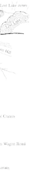
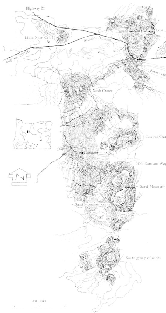
Eruptive cones of the Sand Mountain volcanic field
aligned in a north-south direction
snow-white deposit of microscopic
shells of the algae on the bottom.
Three spatter cones in the
Sand Mountain field have large pits
or conduits from which the volcanic
debris ejected. While most of the
vents are filled with rubble, one on
Nash Crater and two in the Clear
Lake flow remain open. The deepest
open conduit in the Clear Lake flow
is 100 feet to the bottom of the pit,
while the Nash Crater pit connects to
a 50-foot long lava tube.
Overlapping the Sand Moun-
tain field in the south, the Belknap
lava flows were younger and much
more extensive. About 1,600 years
ago, lava poured from Belknap Crater
and the surrounding vents repeatedly
innundating 40 square miles. Ash and
cinders ejected from the crater were
carried in an eastward direction on
the prevailing wind. The crest of Belk-
nap volcano is 400 feet above the lava
field, and the largest of the two crat-
ers in the top is 250 feet deep and
1,000 feet wide.
During the last violent explosions, vast
amounts of volcanic material issued from vents around
Belknap cone, spreading to the west and engulfing
everything along the way. Older Sand Mountain flows
were covered and upright trees were immersed by the
spreading stream before the lava cascaded into the
McKenzie River canyon filling the deeply cut gorge and
disrupting the former drainage pattern. The permeable
basalts allow river waters, now hidden beneath the
surface, to flow through and reappear at Tamolitch
Falls. Because of the blockage, Beaver Marsh formed
upstream from where the river enters the lava field.
Along the margins of the Belknap flow, tree molds
from 1 to 5 feet in diameter mark where trees were
consumed by the lava before cooling and hardening
around the trunk. Trenches up to 35 feet long devel-
oped when tree trunks toppled into the fluid lava to be
cast as molds. These trees have been dated at 360 AD.
A number of cones adjacent to both the Sand
Mountain and Belknap lava fields are responsible for
localized Recent volcanic events. Just to the south of
the Belknap field, Collier Cone is probably the most
recently active volcano in this region, erupting with
lava, cinders, bombs, and other material around 400
oldest cone in this field was probably near Nash Crater,
but this feature has since been destroyed by erosion or
covered by vegetation.
One of the most extensive flows, emitted from
a vent in the south section of the field, sent lava west-
ward to the McKenzie River about 3,000 years ago to
dam the river between Sahalie Falls and Clear Lake.
The outlet to the basin now occupied by the lake was
blocked by a 200-foot high lava dam. Along the river
banks, rising waters submerged an entire forest. Today,
standing tree trunks, 2 to 3 feet in diameter, can be
seen in the unusually clear water. Successions of
diatoms living in the waters of the lake have formed a