Travel Reference
In-Depth Information
(large cedars, spruce trees) stretch as
far as the eye can see. There is water
everywhere, and although visitors will
feel surrounded by lakes, what they
actually see is the ocean creeping in-
land. A look at a map reveals that there
are thousands of islands and fjords in
this region. In fact, the town of Prince
Rupert itself is located on an island,
Kaien Island, 140km south of Ketchikan
(Alaska). Prince Rupert is the most
northerly point serviced by BC Ferries,
and an important terminal for ferries
from Alaska (Alaska Marine Highway).
Over 19,000km of possible routes were
studied before it was decided that the
railroad would in fact run alongside the
Skeena River. Charles Hays, president of
the GTPR, held a contest to christen the
new terminus. The name Prince Rupert
was chosen from nearly 12,000 entries,
in honour of the explorer and fi rst head
of the Hudson's Bay Company, a cousin
of Charles II of England.
Today, Prince Rupert is a lovely, prosper-
ous community unlike any other town
in northern British Columbia. Visitors
won't fi nd any concrete or garish neon
signs here; instead, they are be greeted
by opulent-looking Victorian architec-
The scenery is quite simply superb;
mountains blanketed by dense forest
encircle the town, and a splendid nat-
ural harbour, the second largest in the
Canadian West, remind visitors that they
have reached the coast. The history of
Prince Rupert dates back to 1905, when
engineers from the Grand Trunk Pacifi c
Railway (GTPR), the transcontinental
railroad, came here to look into the
possibility of ending the line here.
6
Prince Rupert.
© Pierre Longnus
6
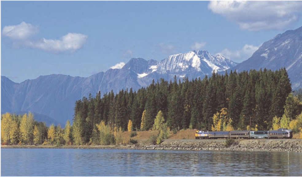
The Skeena River and Coast Mountains.
© VIA Rail / Matthew G. Wheeler


Search WWH ::

Custom Search