Environmental Engineering Reference
In-Depth Information
Single wind farm
0.4
0.3
0.2
0.1
0
0
6
12
18
24
30
36
42
48
(a)
Look-ahead time (h)
15 geographically dispersed wind farms
0.4
0.3
0.2
0.1
0
0
6
12
18
24
30
36
42
48
(b)
Look-ahead time (h)
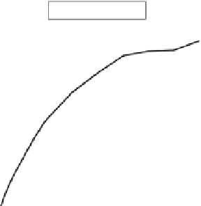
Figure 6.9
Improvement in evaluation criterion RMSE of new reference
persistence over basic persistence plotted versus look-ahead time for
(a) a single wind farm and (b) 15 geographically dispersed wind farms
The model output is provided in the form of wind speed and wind direction
forecasts for a three-dimensional set of grid points. The grid has rather coarse hor-
izontal resolution (typically in the range 5-40 km) and a number (typically 20-40)
of vertical levels down to the surface level. These vertical levels are more con-
centrated in the planetary boundary layer. The first task of the forecasting model is
downscaling, that is, converting the four closest NWP grid point forecasts to local
wind forecasts at the wind farm site. A typical situation is shown in Figure 6.11,
with NWP forecasts available at the grid points 1, 2, 3, . . . 9 and a local wind fore-
cast required at the wind farm, which is located in reasonably complex terrain.


Search WWH ::

Custom Search