Environmental Engineering Reference
In-Depth Information
Meteoro-
logical
service
Wind
farms
NWP
forecasts
Power and meteorological
measurements
Wind
farms
and
terrain
Wind power
forecasting
model
Detailed descriptions
Power
forecasts
Wind
farm
owners
Energy
traders
TSO
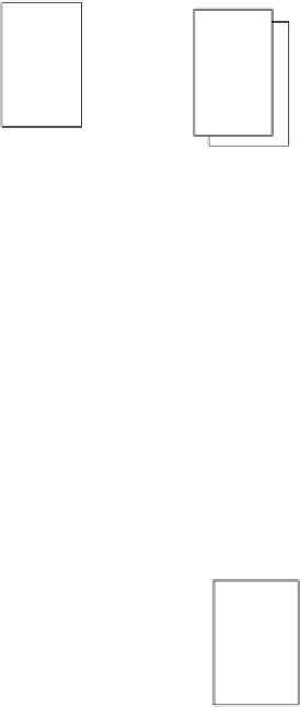
Figure 6.10
Flows of information in a wind power forecasting system
Clearly, the horizontal resolution of the NWP model cannot hope to capture the
effect of processes due to the local terrain and local thermal effects on the flow.
One downscaling method involves a mathematical spatial interpolation
between the four closest NWP grid points. Another more complex approach, whose
use might be justified in the case of very complex terrain, would be to determine
the flows over the local terrain using a much higher resolution meso- or micro-scale
physical model. The NWP model results are used to initialise and set the boundary
conditions for this meso- or micro-scale model. The meso- or micro-scale model is
in effect nested within the NWP model. This clearly involves additional modelling
complications and meteorological expertise in setting up, operating and interpreting
the results. A tradeoff needs to be made between the additional cost of the added
complexity and the gains in accuracy which might be achieved.
The second input to the wind power forecasting model is a detailed description
of the wind farm and its surrounding terrain. This information is static in nature and
typically includes the number and location of the wind turbines, the wind turbine


Search WWH ::

Custom Search