Environmental Engineering Reference
In-Depth Information
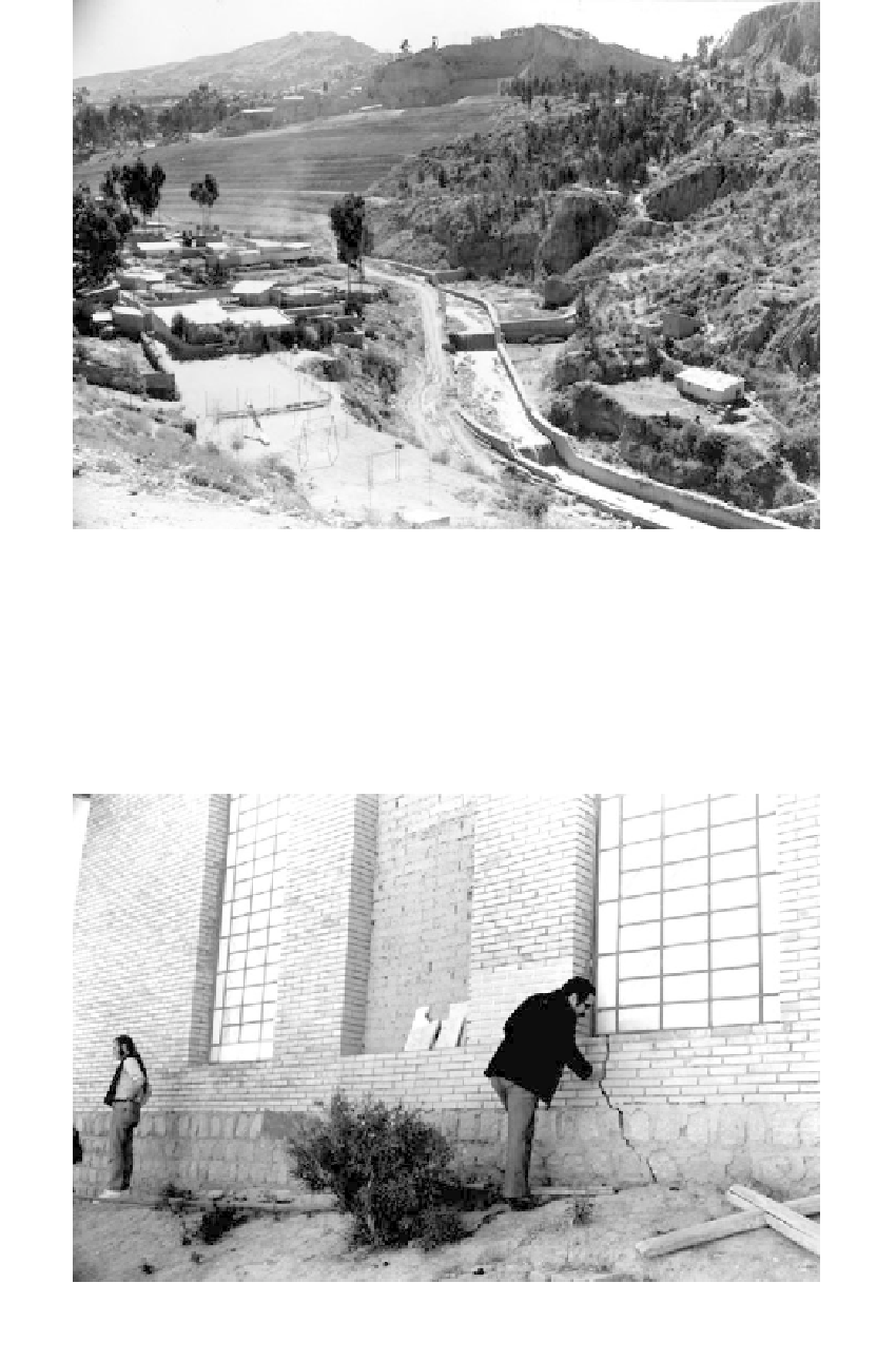
FIGURE 9.29
Slump-slide landform (valley of the Rio Choqueyapa, La Paz, Bolivia). High center scarp in strong sands and
gravels remains after failure of underlying lacustrine soils. Slopes were extremely unstable prior to
channelization of the river, because of river erosion and flood stages. Grading of old slide in upper left is not
arresting slope movements as evidenced by cracks in new highway retaining wall (not apparent in photo).
Slope failures continue to occur from time to time throughout the valley (photo taken in 1973).
FIGURE 9.30
One-year-old church being split into half from slope movements although located over 1 km from the slope
shown in Figure 9.29 (La Paz, Bolivia, 1972).