Environmental Engineering Reference
In-Depth Information
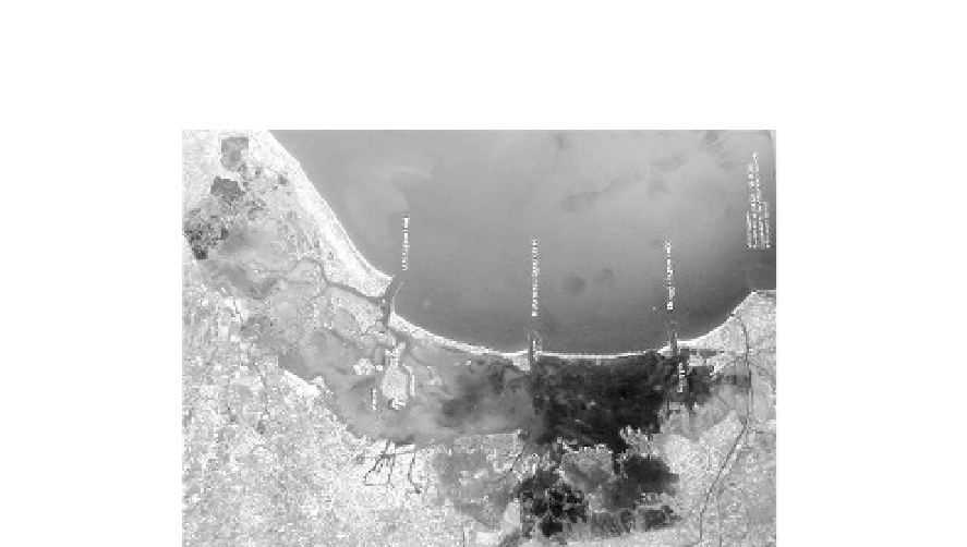
construction of the outer breakwaters at the inlets, which occurred between 1800 and 1900 with the aim
of ensuring the passage of modern ships, also reduced the quantity of sediments brought in by the sea.
Fig. 8.11
Venice, Chioggia, Murano, Burano Torcello and more than 50 islands in the Venice Lagoon are threatened
by tidal flooding due to subsidence (Source: http://www.salve.it/) (See color figure at the end of this topic)
In the past 100 years, however, eustasy and subsidence have resulted in a loss of land level of more
that 0.23 m. Although just a few centimeters, these are actually quite a lot for a city that rests on the surface
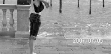
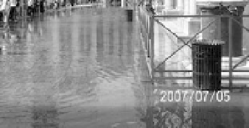
of the water. When the tide grows to the point of provoking floods in the historic centers of the lagoon,
the phenomenon of acquaalta is said to occur. The frequency and intensity of the floods have become
progressively worse, so much so that today, in the autumn and winter, the lowest-lying zones of Venice
undergo flooding almost daily, while the risk of a dramatic event, such as the one of Nov. 4, 1966, in which
Venice, Chioggia and the other historic centers were completely submerged by water, is always present.
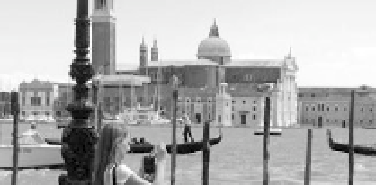
Figure 8.12 shows that the San Marco square and the largest Church in Venice are floating on sea water.
The beaches of the littoral have drastically reduced in width or have even disappeared, leaving the
coastal areas ever more exposed to the violence of sea storms.
Fig. 8.12
The San Marco square and Basilica di San Marco a Venezia—the most famous of the city's churches and one
of the best known examples of Byzantine archtecture in Venice are floating on sea water (See color figure at the end
of this topic)

Search WWH ::

Custom Search