Geoscience Reference
In-Depth Information
100
200
300
400
500
600
700
800
900
1000
200
400
600
800
1000
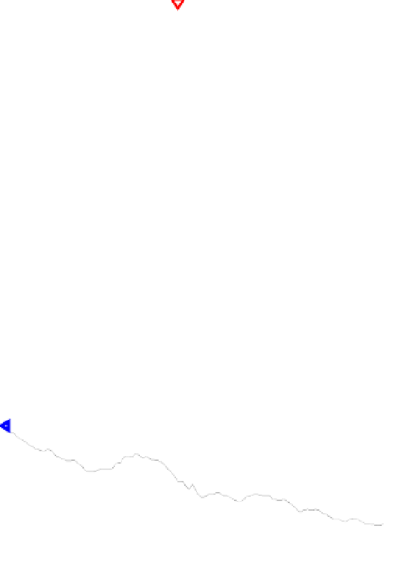
Fig. 10. Digital Elevation Map of the western part of Sicily showing the Bisacquino radar site
(red triangle) and the Giuliana rain gauge location (blue triangle). Axes map units are 90-m
pixels.
1600
Terrain Profile
Radar
Gauge
1400
1200
1000
800
600
400
200
0
0
1000
2000
3000
4000
5000
6000
7000
8000
9000
Distance [m]
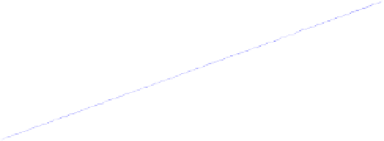
Fig. 11. As in Fig. 6, but for the Bisacquino radar and the Giuliana rain gauge.