Database Reference
In-Depth Information
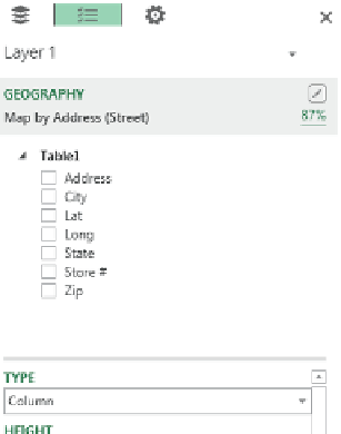
Figure 6-5:
The Geography header alerts you if Bing Maps had trouble plotting any of the geographical data points.
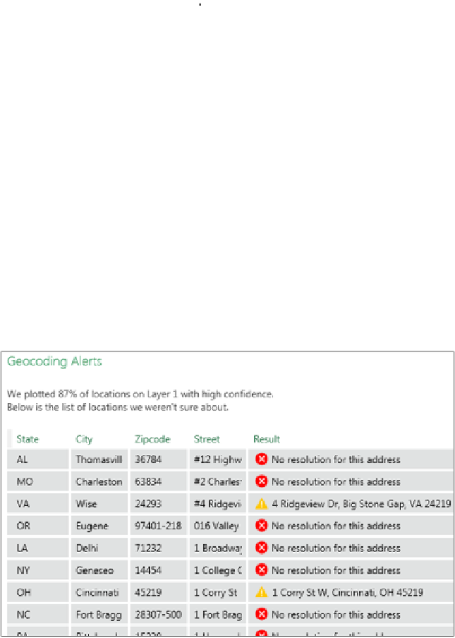
Figure 6-6:
The Geocoding Alerts dialog box shows you each problematic geographical data point and how
Bing handled it.
If you encounter geocoding alerts, it's best to step back and try resolving the errors by correcting
your source data table. Consider taking any of these actions:
➤ If possible, use latitude and longitude as your geographic points. You'll get much better
plotting accuracy.
➤ Try to include the full address, city, state, and zip or postal code for your data. Each should be
in its own column. Remember that the more geographic data you can include, the better.


Search WWH ::

Custom Search