Environmental Engineering Reference
In-Depth Information
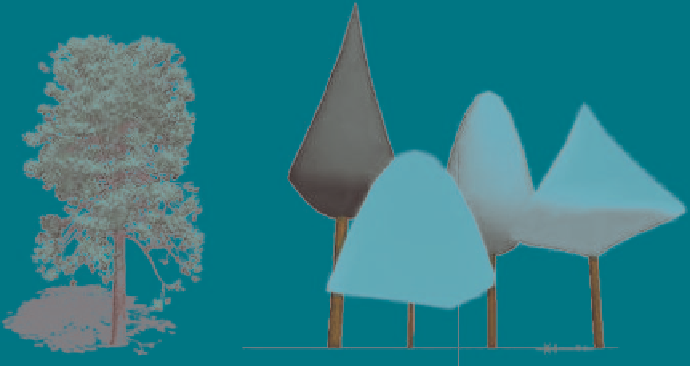
Fig. 6.5
Examples of a very detailed plant from the Bionatics® library (
left
) and simple plant
forms (
right
) built under the GEOM module of AMAPmod (Boudon et al.
2001)
, now integrated
as PlantGL in the ALEA platform (Pradal et al.
2004)
http://gforge.inria.fr/projects/openalea/
Data Handling and Processing
The system described here is able to automatically generate suitable 3D content
models from spatial 2D data.
SLE users have the option to load geospatially referenced data resulting from
different policies and select an area of interest for the visualisation. Ideally, this should
eventually be possible anywhere in Europe, if the appropriate data is made available.
To manipulate these data we propose the user friendly Open Source Quantum
GIS (QGIS,
http://www.qgis.org/
)
. A 3D data conversion tool has been developed
and integrated into QGIS. It works as an external module of the visualisation one
and converts raster layers and shape files into a format the renderer can read. The 3D
visualisation module has been developed as a stand-alone model. It can therefore run
independently from other modelling components and be launched by the GIS.
Currently, the link with bio-economic models is done by database server connection.
In Fig. 6.
6
, we describe the flow of data through this spatial database and SLE.
Land-use distribution can be downloaded from the POSTGRES spatial database
by QGIS. More accurate data such as field patterns and digital elevation model
must be also loaded (from the local user hard drive or from a server) to allow SLE
visualisation.
The SLE QGIS plug-in can allocate each agricultural parcel to a specific land-use.
This will be done by importing the proportion of each land-use class computed by
the bio-economic farm model and distributing it on the field pattern according to
specific allocation rules. At present the rule implemented in the model is simply
random allocation of changes, but this should be improved in future versions.
Then the plug-in can export any extent of up to 10 by 10 km selected by users.