Geoscience Reference
In-Depth Information
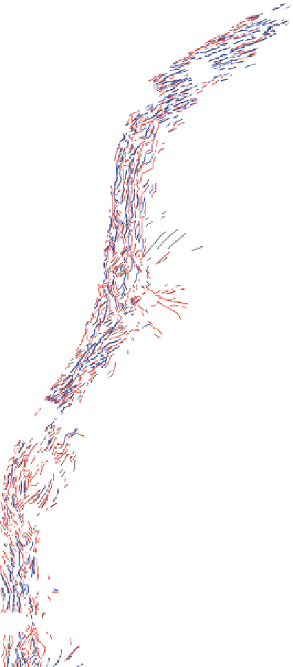
42°N
42°N
40°N
40°N
38°N
38°N
36°N
36°N
34°N
34°N
KFZ
32°N
32°N
140°E
142°E
144°E
146°E
148°E
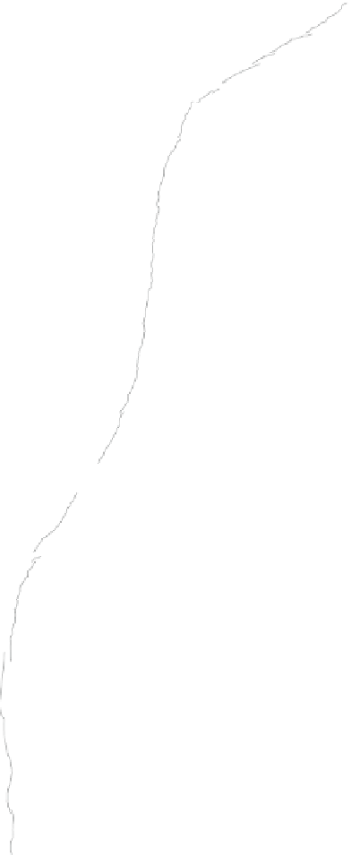
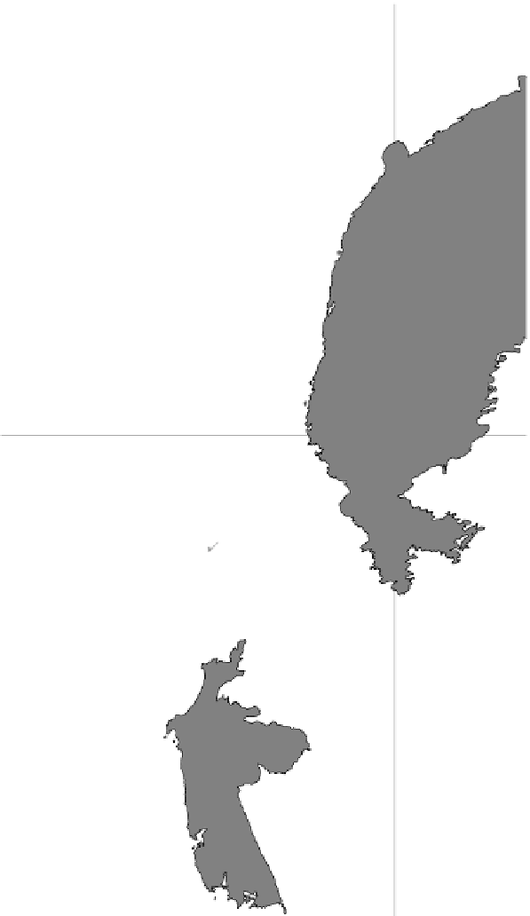
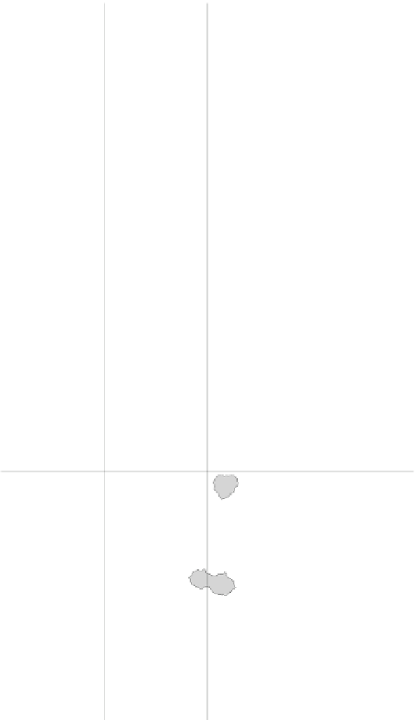
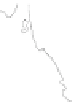
Fig. 6
Distribution of bending-related topographic structures.
Red
,
blue
, and
black solid lines
represent landward- and oceanward-dipping escarpments, and ridges, respectively.
Lightly shaded
areas
are topographic heights as seamounts.
Darkly shaded areas
are above 5,600 m depth and
outline the outer swells.
Barbed lines
show the approximate location of trench axes with barbs on
the overriding plate.
KFZ
Kashima Fracture Zone


Search WWH ::

Custom Search