Graphics Programs Reference
In-Depth Information
This is more of a “Wow, that's cool!” feature than an incredibly useful one, but if
your camera has built-in GPS (which embeds the exact latitude and longitude
of where the photo was shot), or if you bought one of the GPS units now available
for digital cameras, then gather your friends around Lightroom and prepare to
blow them away, because it not only displays this GPS information, but one click
will actually bring up a map pinpointing the location where you took the photo.
Amazing! Next thing you know they'll put a man on the moon.
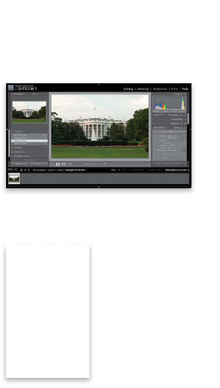
Step One:
Import a photo into Lightroom that was
taken with a digital camera that has the
built-in (or add-on) ability to record GPS
data (camera companies like Ricoh make
GPS-enabled digital cameras, and many
Nikon DSLRs [like the D300s, D700, and
D3s, for example] have a GPS-compatible
connector port, which can make use of
add-ons like Sony's GPS CS1KASP unit,
with a street price of around $100 [at the
time of writing]).
Step Two:
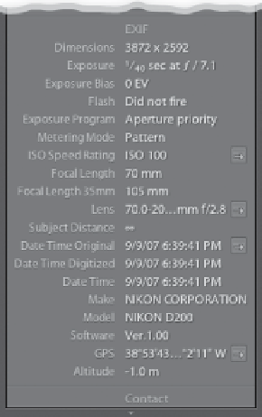
In the Library module, go to the Metadata
panel in the right side Panels area. Near
the bottom of the EXIF section, if your
photo has GPS info encoded, you'll see
a metadata field labeled GPS with the
exact coordinates of where that shot
was taken (shown circled here in red).