Graphics Programs Reference
In-Depth Information
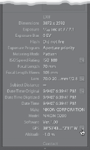
Step Three:
Just seeing that GPS info is amazing
enough, but it's what comes next that
always drops jaws whenever I show this
feature live in front of a class. Click on
the little arrow that appears to the far
right of the GPS field (it's shown circled
here in red).
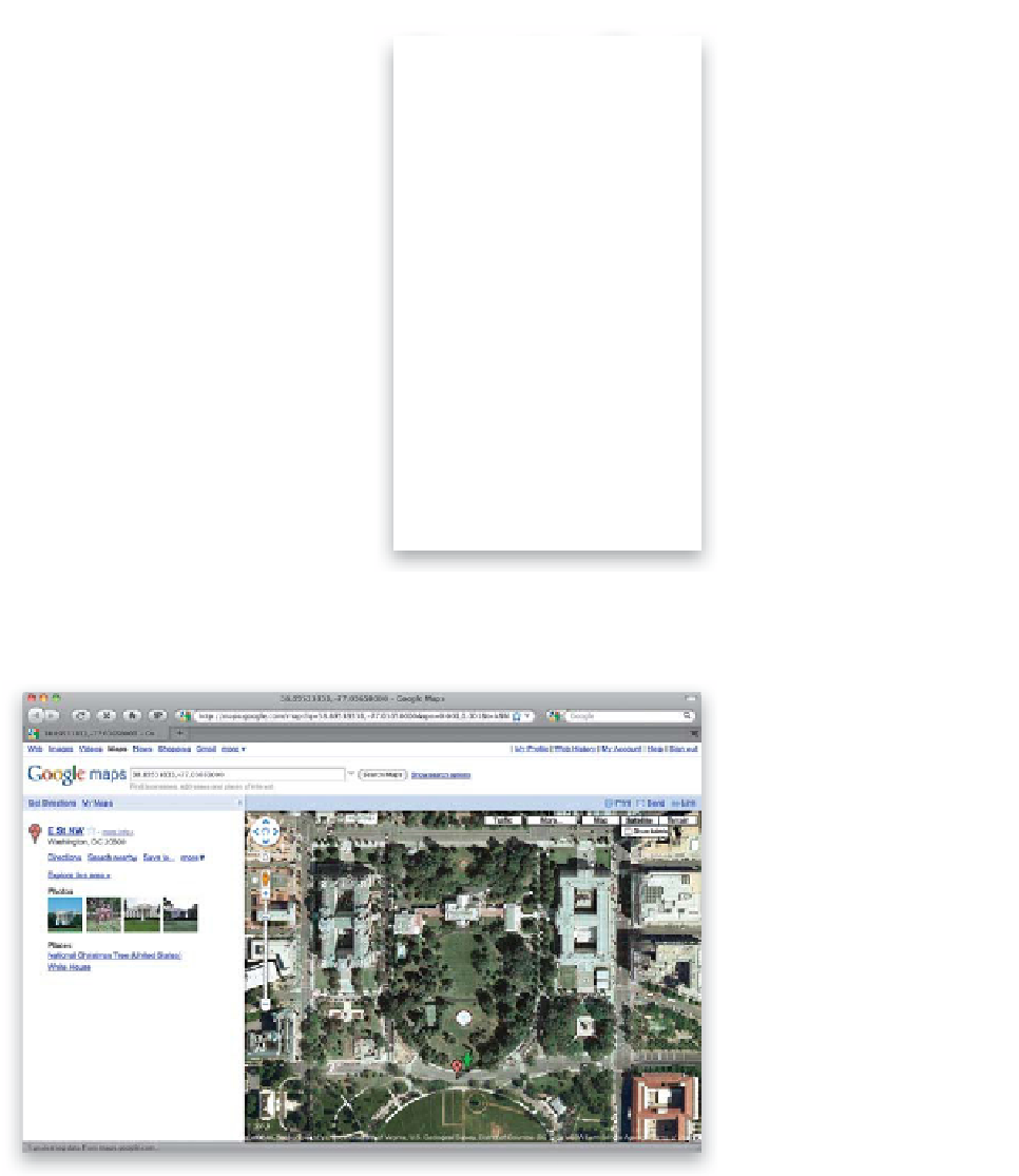
Step Four:
When you click on that little arrow,
if you're connected to the Internet,
Lightroom will automatically launch
your default Web browser, connect
to Google Maps, and it will display a
full-color photographic satellite image
with your exact location pinpointed
on the map (as shown here). Seriously,
how cool is that!? Now, in all honesty,
I've never had even a semi-legitimate
use for this feature, but I've found
that despite that fact, I still think it's
just so darn cool. All guys do. We just
can't explain why.