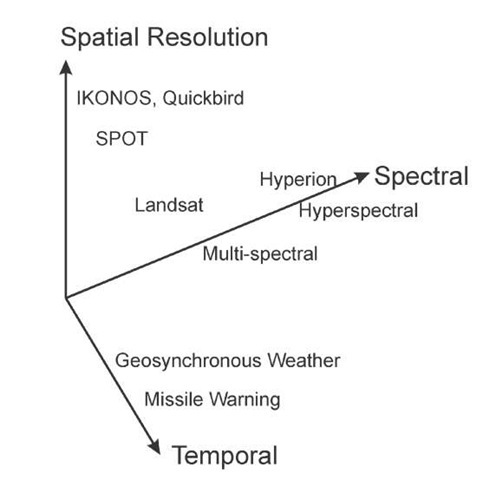
The sequence of images presented above has demonstrated the three dimensions associated with remote sensing imagery: the spatial, spectral, and temporal. Figure 1.25 illustrates these three dimensions, which are in general somewhat mutually exclusive. You can have high spatial resolution, but only at low temporal coverage (like Landsat: decent pictures, but only once every 16 days or so). You can have high temporal coverage (like GOES, once every 30 min), but then your spatial resolution is only 1 km. If you want spectral coverage (multispectral or hyper-spectral), you will pay a penalty in the other dimensions.
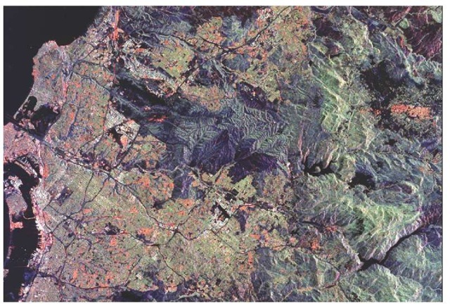
Figure 1.24(a) This image was acquired on October 3,1994.
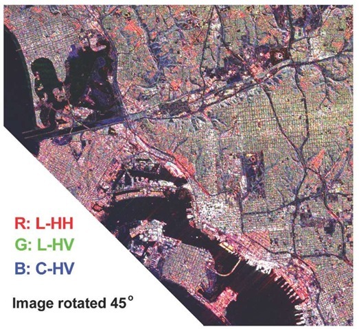
Figure 1.24(b) San Diego image from the Shuttle Imaging Radar, L-band and C-band data.
Figure 1.25 Three Dimensions for remote sensing.
Similarly, there is a conflict between resolution and field of view: image a larger area, and in general you will have lower spatial resolution. A fourth axis, polarization, has started to appear in the remote-sensing community as an additional dimension of information.


