Geoscience Reference
In-Depth Information
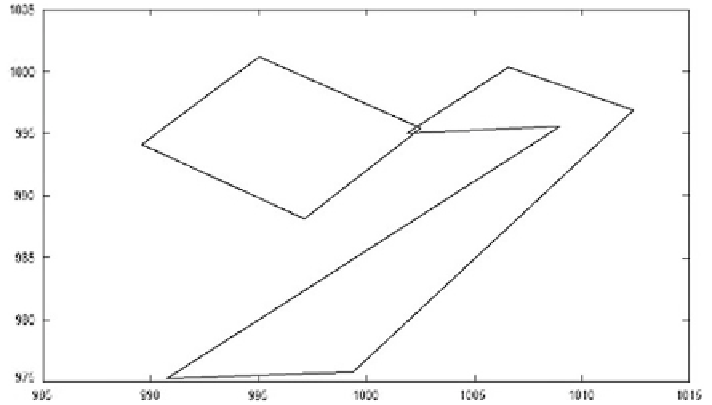
Fig. 12
Trimble LaserAce 1000 indoor building surveying by six infinite planes
7 Concluding Remarks
A rapid surveying technique for 3D indoor data acquisition has been proposed
and presented. The DHE was used to model data from the rangefinder. The tech-
nique can be applied for indoor data acquisition in relation to LADM-based 3D
cadastre. 3D modelling of more complex structures will be assessed in the future.
Rangefinder was compared to two high accurate surveying devices (Leica 307
TCR and Faro Photon 120/20). Proposed indoor surveying technique was inves-
tigated based on the three factors: time, cost and surface area. Proposed method
of data acquisition shows better result based on the cost and time factors and the
modelled geometry showed shape distortion compared to the Leica 307 TCR
and Faro Photon 120/20. Measured distance less than 5 m with wide and narrow
angles caused unacceptable error in indoor environment (See Fig.
11
).
A base station for indoor surveying is to be constructed to fully analyse the
rotated 3D models problem. Nowadays, municipalities intend to have 3D city
models for facility management, disaster management and architectural planning.
3D data acquisition can be done by laser scanning for indoor environment which is
costly and time consuming process. Authors of this chapter believe that proposed
surveying technique can be employed for basic indoor environment modelling to
decrease cost and time of 3D city modelling. Proposed surveying technique can be
useful and affordable for most of municipalities.
Acknowledgments
This research is supported by the Ministry of Higher Education in
Malaysia (ERGS grant, vote no. 4L047, Universiti Teknologi Malaysia).