Geoscience Reference
In-Depth Information
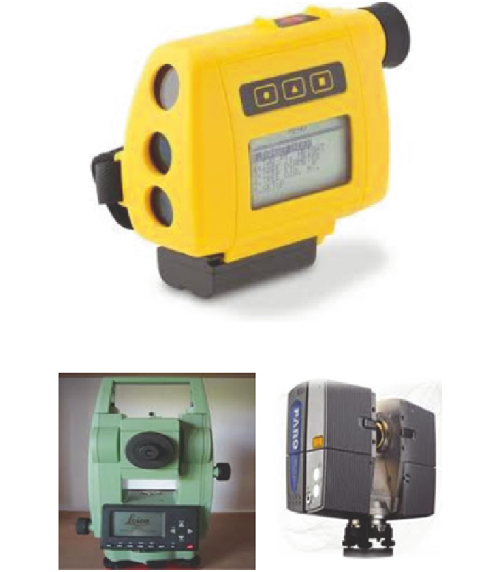
Fig. 1
The rangefinder
Fig. 2
Leica 307 TCR (
left
) and Faro Photon 120/20 (
right
)
rangefinder is used to capture indoor 3D data as shown in Fig.
1
. Figure
2
shows
the other devices used for the data collection in this research.
The rangefinder is used to survey all corners of a room and via Bluetooth tech-
nology this data is transferred into a laptop.
3 3D Modelling
There are many different spatial data models; some of these are categorized as:
constructive solid geometry (CSG), boundary representation (B-Rep), regular decom-
position, irregular decomposition and non-manifold structures (Ledoux and Gold
2007
).