Geoscience Reference
In-Depth Information
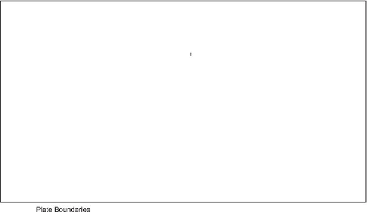
Figure 3.1. World tectonic plate boundaries. (After Williams et al.,
1998
,
fig. 2.1
.)
approximately 100 Ma led to the creation of a 2,500 km long rift system similar to that
in East Africa today (Ferraccioli et al.,
2011
). Uplift along the rift margins created
the Gamburtsev Mountains, which were deeply eroded by rivers and later by ice, and
formed a nucleus for the build-up of the Antarctic ice sheet around 34 Ma and possibly
for earlier ephemeral ice sheets.
Separation of Greater India from the western margin of Australia-Antarctica began
some 128 Ma ago and was followed by its northward movement and eventual collision
with and subduction beneath the Eurasian plate, leading to uplift of the Himalayas
and of the Tibetan Plateau from about 45 Ma onwards (
Tabl e 3 . 4
). This uplift in turn
created a pronounced rain shadow to the north and led to accentuated aridity in the
Taklamakan Desert of western China and the Gobi Desert of Mongolia. Late Cenozoic
uplift linked to plate movements gave rise to the Andes in South America and the
Rocky Mountains in North America, in turn creating rain shadows to leeward of both
ranges. Northward movement of the African plate and its encounter with the Eurasian
plate led to uplift of the Atlas Mountains, which formed a barrier denying access to
the developing Sahara from moist northerly air masses.
Uplift of the Andes, the Rockies, the Sierra Nevada, Ethiopia-Arabia, the Atlas,
the Alps and the Himalayas-Tibetan Plateau would have accelerated weathering and
erosion, leading to an increase in the dissolved and suspended load carried to the
oceans (
Figure 3.3
). (The timing of this uplift varied from region to region and is
covered in Chapters
18
to
22
, so we do not need to dwell on it further in this chapter).
Roughly nine-tenths of the chemical and suspended loads in the Amazon today come