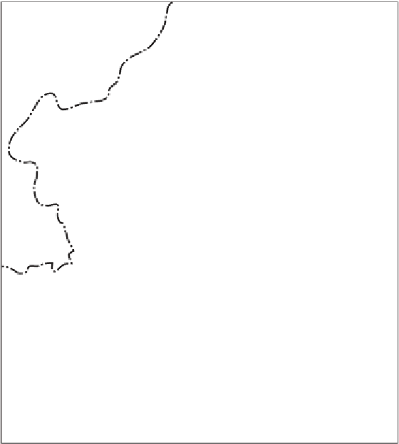
Geoscience Reference
In-Depth Information
72
o
76
o
Delhi
28
o
28
o
Didwana
Jaisalmer
Jaipur
Udaipur
24
o
Great Rann
24
o
Little
Rann
Ahmedabad
Indore
0
kms 20
0
72
o
76
o
isohyets mm
Figure 8.10. Map showing active and fixed dunes in the Thar Desert, India. Active
dunes occur where the mean annual rainfall is less than 250 mm; fixed dunes extend
into areas that now receive at least 450 mm of mean annual rainfall. (After Singhvi
et al.,
2010
.)
Pleistocene, about 15-14 ka (Wasson et al.,
1983
;Chawlaetal.,
1992
;Dhiretal.,
1992
; Thomas et al.,
1999
; Singhvi et al.,
2010
).
The Thar Desert occupies an area of roughly 320,000 km
2
in north-west India
and eastern Pakistan between latitudes 24
E. It
extends roughly 800 km (500 miles) from WSW to ENE and 400 km (250 miles)
from north-west to south-east (
Figure 8.10
), and occupies much of the Indian State
of Rajasthan and the Pakistan Province of Sind. Mean annual rainfall decreases from
more than 500 mm in the east to less than 100 mm in the west, near the edge of the
Indus Valley. The Aravalli Hills form an approximate eastern boundary to the Thar
Desert and are the source of a network of seasonal and ephemeral rivers that flowwest-
wards into the desert, including the one integrated drainage system in this desert -
the seasonal Luni River. The Thar Desert is flanked to the west by the Cholistan
Desert of eastern Pakistan, most of which is situated within Sind Province, to the
°
30
ʹ
N and 30
°
N and 69
°
30
ʹ
E and 76
°