Geoscience Reference
In-Depth Information
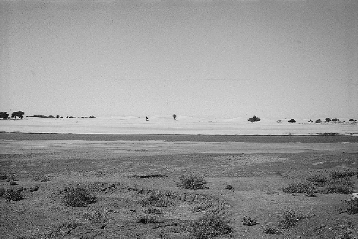
Figure 8.6. Source-bordering dune, lower Blue Nile, central Sudan.
Holocene vegetation of the Sudan. The second arid phase was brief and only involved
a 200 km southward shift of the wind and rainfall belts. Warren equated the final
moist phase with the moist Neolithic phase, dated to 7-5 ka in Chad. However,
in the absence of any direct dating of the dunes themselves, these conclusions must
remain speculative - working hypotheses to be tested by future investigation involving
luminescence dating of the dune sands.
8.6 Paleochannels and source-bordering dunes
One particular type of dune common in areas where rivers flow into deserts is genetic-
ally associatedwith the presence of a regular supply of alluvial sand transported by sea-
sonally flowing streams. Such dunes are termed source-bordering dunes (
Figure 8.6
)
but should more strictly be defined as 'fluvial' or 'riverine source-bordering sand
dunes' (Page et al.,
2001
), and they have attracted particular attention in Australia
(Wasson,
1976
;Bowler,
1978a
;Bowler,
1978b
; Williams et al.,
1991a
; Nanson et al.,
1995
;Pageetal.,
2001
; Maroulis et al.,
2007
;Cohenetal.,
2010a
). Three condi-
tions appear to be necessary for the formation of fluvial source-bordering dunes.
The first prerequisite is a regular supply of bed-load sands brought in by rivers that
dry out seasonally, leaving their sandy point-bars exposed to deflation. The second
requirement is an absence of riparian vegetation so that sand movement out of the