Geoscience Reference
In-Depth Information
(Recall that work, which is a form of energy, is “force distance”.) Then
evaluated at some altitude
z
is the work that was done against gravity to lift a
unit mass of air from the surface to that altitude. Equivalently, it is the “poten-
tial” energy that would be extracted if the unit mass were to fall to the surface.
In common practice, is referred to simply as the
geopotential
.
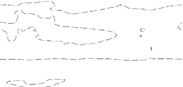
The annual mean geopotential height climatology at 900 and 200 hPa is
displayed in
Figure 2.3.
Note the following:
• The 900 hPa surface is roughly 800 m from the surface in the subtropics
(near 30°N and 30°S) and slopes down closer to the surface at higher
latitudes and near the equator.
(a)
60°N
775
775
800
800
775
775
30°N
775
Equator
800
800
775
30°S
800
800
775
775
600
60°S
600
600
77
775
600
0°
30°E
60°E
90°E 120°E 150°E 180° 150°W 120°W 90°W 60°W 30°W 0°
(b)
60°N
600
11600
12000
12000
30°N
12400
12400
Equator
12400
12400
30°S
12000
12000
11600
11600
11200
60°S
11200
10800
0°
30°E
60°E
90°E 120°E 150°E 180° 150°W 120°W 90°W 60°W 30°W 0°
Figure 2.3 Annual mean geopotential height climatology in meters at 900 and 200 hPa.
(a) The contour interval is 50 m; the 775 m contour is indicated with the dashed line.
(b) The contour interval is 200 m.