Geoscience Reference
In-Depth Information
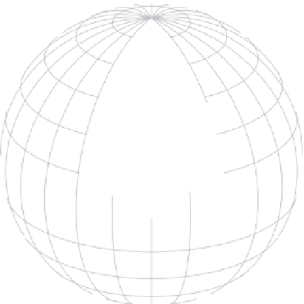
North
Pole
P
z
×
Figure B.2. The Earth-centered
spherical coordinate system.
ϕ
λ
Equator
P
in this coordinate system, latitude (f) and longitude (l) are defined for the
point (marked by an
x
) on the surface below the point (or above it for an ocean
application), that is, making the thin atmosphere (ocean) approximation. The
vertical coordinate,
z
, is the elevation of the point above the earth's surface.
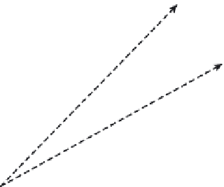
Note that it is easy to translate between the horizontal components of the
local Cartesian and the earth-centered spherical coordinates. With the thin at-
mosphere approximation,
Figure B.3
indicates that
Ω
δy
a
ϕ
δ
Figure B.3. Converting between the meridional coordinate,
y
,
in local Cartesian coordinates and latitude f.